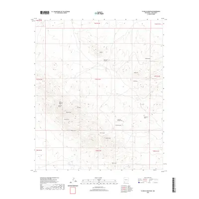
2020 Map of Flying W Mountain
USGS Topo · Published 2020About this map
Flying W Mtn and the southern reaches of the Cedar Mountain Range anchor this arid landscape in Luna County, where the terrain is defined by a complex network of ephemeral drainage channels. Water management is a primary feature of the high desert environment, with infrastructure like Red Tank, Gap Tank, and the systematically named Tank Number 4 North scattered across the township and range divisions. These features suggest the historical and continued importance of ranching and livestock in this corner of New Mexico.
Find a feature on this map
31 named features on this map. Tap any name to fly to it.
Don’t see what you’re looking for? This feature index may not catch every label — zoom into the map to look around manually.
Map Details
Editions of this 2020 Flying W Mountain Map
This is the sole edition of this map. No revisions or reprints were ever made.
Other maps of this area
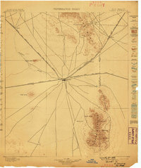
1899 · Deming
USGS Topo · 1:125,000
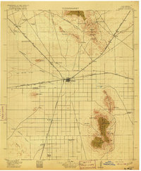
1915 · Deming
USGS Topo · 1:125,000
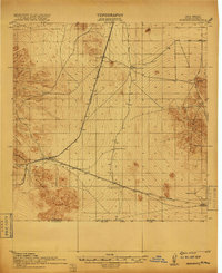
1917 · Hermanas
USGS Topo · 1:62,500
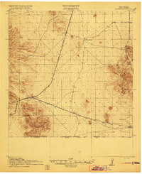
1918 · Hermanas
USGS Topo · 1:62,500
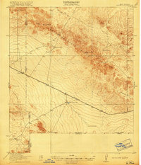
1918 · Victorio
USGS Topo · 1:62,500
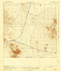
1943 · Hermanas
USGS Topo · 1:62,500
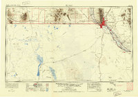
1953 · El Paso
USGS Topo · 1:250,000

1954 · Silver City
USGS Topo · 1:250,000
1955 · Douglas
USGS Topo · 1:250,000
1955 · Las Cruces
USGS Topo · 1:250,000