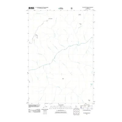
2011 Map of Fog Mountain
USGS Topo · Published 2011About this map
The Selway River carves a central path through this Idaho County wilderness, dictating the drainage patterns of numerous local tributaries. In this 2011 survey, the landscape is defined by its named high points and saddles, such as Fog Mountain and the nearby Big Fog Saddle. Access into the back-country is shown via the Fog Mtn Rd, which terminates near the mountain peak.
Find a feature on this map
28 named features on this map. Tap any name to fly to it.
Don’t see what you’re looking for? This feature index may not catch every label — zoom into the map to look around manually.
Map Details
Editions of this 2011 Fog Mountain Map
This is the sole edition of this map. No revisions or reprints were ever made.
Other maps of this area

1911 · Lolo
USGS Topo · 1:250,000

1913 · Lolo
USGS Topo · 1:250,000

1956 · Elk City
USGS Topo · 1:250,000

1956 · Hamilton
USGS Topo · 1:250,000

1959 · Hamilton
USGS Topo · 1:250,000

1960 · Elk City
USGS Topo · 1:250,000

1960 · Hamilton
USGS Topo · 1:250,000

1964 · Hamilton
USGS Topo · 1:250,000

1966 · Selway Falls
USGS Topo · 1:24,000

1966 · Anderson Butte
USGS Topo · 1:24,000