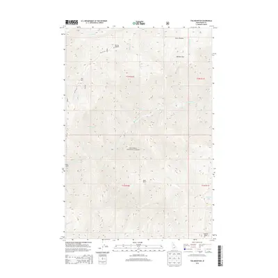
2013 Map of Fog Mountain
USGS Topo · Published 2013About this map
The Selway River cuts a deep, winding path through the heart of the Nez Perce National Forest in this survey of Idaho's wilderness. The landscape is defined by its dramatic verticality, with high-elevation landmarks such as Fog Mtn, Otter Butte, and Ballinger Point towering over a complex network of drainage basins. The map captures the limited human footprint in this backcountry, primarily represented by the Fog Mtn Rd and the Bear Packer Camp near the river's edge. This region is a study in hydrology and high-country meadows, where seasonal waters like Canteen Cr and Jims Cr flow from upland areas like Moose Meadows. For those tracking the geography of the Bitterroot region, the map provides precise data on the Highline Ridge and the Big Fog Saddle transition.
Find a feature on this map
31 named features on this map. Tap any name to fly to it.
Don’t see what you’re looking for? This feature index may not catch every label — zoom into the map to look around manually.
Map Details
Editions of this 2013 Fog Mountain Map
This is the sole edition of this map. No revisions or reprints were ever made.
Other maps of this area

1911 · Lolo
USGS Topo · 1:250,000

1913 · Lolo
USGS Topo · 1:250,000

1956 · Elk City
USGS Topo · 1:250,000

1956 · Hamilton
USGS Topo · 1:250,000

1959 · Hamilton
USGS Topo · 1:250,000

1960 · Elk City
USGS Topo · 1:250,000

1960 · Hamilton
USGS Topo · 1:250,000

1964 · Hamilton
USGS Topo · 1:250,000

1966 · Selway Falls
USGS Topo · 1:24,000

1966 · Anderson Butte
USGS Topo · 1:24,000