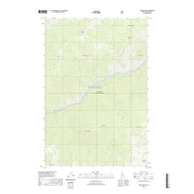
2020 Map of Fog Mountain
USGS Topo · Published 2020About this map
The Middle Fork Clearwater Wild and Scenic River and the Selway River converge in this high-elevation wilderness within the Nez Perce National Forest. The landscape is defined by steep drainage systems and prominent peaks, including Fog Mtn and Otter Butte, which overlook a complex network of creeks like Hidden Creek and Maiden Creek. The limited human footprint is centered on the Fog Mtn Road, providing access to the Big Fog Saddle. This area serves as a critical watershed, with high-altitude features like the Highline Lakes and Moose Meadows feeding the primary river systems. The transition from the high-ridges of Highline Ridge down to the river canyons illustrates the primitive character of the Idaho backcountry at the start of the 2020s.
Find a feature on this map
35 named features on this map. Tap any name to fly to it.
Don’t see what you’re looking for? This feature index may not catch every label — zoom into the map to look around manually.
Map Details
Editions of this 2020 Fog Mountain Map
This is the sole edition of this map. No revisions or reprints were ever made.
Other maps of this area

1911 · Lolo
USGS Topo · 1:250,000

1913 · Lolo
USGS Topo · 1:250,000

1956 · Elk City
USGS Topo · 1:250,000

1956 · Hamilton
USGS Topo · 1:250,000

1959 · Hamilton
USGS Topo · 1:250,000

1960 · Elk City
USGS Topo · 1:250,000

1960 · Hamilton
USGS Topo · 1:250,000

1964 · Hamilton
USGS Topo · 1:250,000

1966 · Selway Falls
USGS Topo · 1:24,000

1966 · Anderson Butte
USGS Topo · 1:24,000