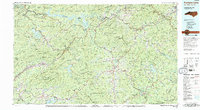
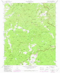
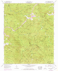
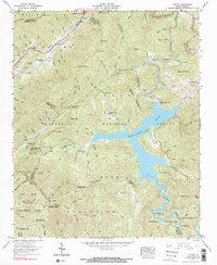
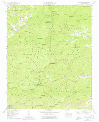
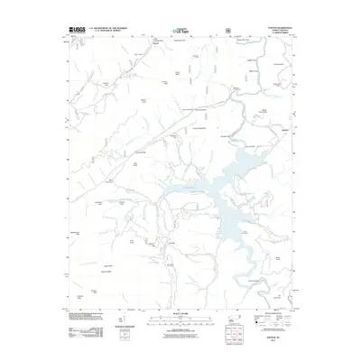
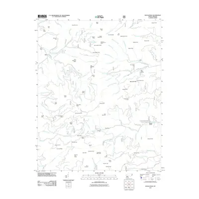
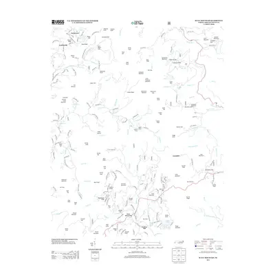
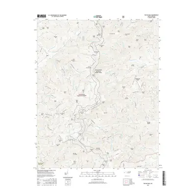
1983 Map of Fontana Lake
USGS Topo · Published 1983About this map
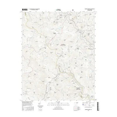
Fontana Lake and the surrounding high country of the Great Smoky Mountains dominate this 1983 topographic survey, illustrating a landscape defined by significant hydroelectric projects and large-scale public land management. The winding reservoir of Fontana Lake sits at the heart of the terrain, while other major impoundments like Nantahala Lake, Thorpe Reservoir, and Santeetlah Lake highlight the mid-century transformation of the region's river systems. Significant settlements such as Waynesville, Franklin, and Bryson City serve as regional hubs, while the Cherokee Indian Reservation and Western Carolina University at Cullowhee mark important cultural and educational anchors. The complex network of ridges, including the Nantahala Mountains and Cowee Mountains, is traversed by the Southern railroad line and major routes like U.S. 19 and U.S. 64, connecting these mountain communities.
Find a feature on this map
113 named features on this map. Tap any name to fly to it.
Don’t see what you’re looking for? This feature index may not catch every label — zoom into the map to look around manually.
Map Details
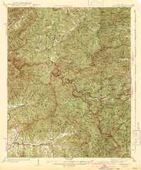
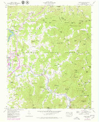
Editions of this 1983 Fontana Lake Map
2 editions found
Historical Maps of Waynesville Through Time
48 maps found

1935 Burningtown Bald
Macon County, NC

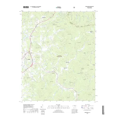
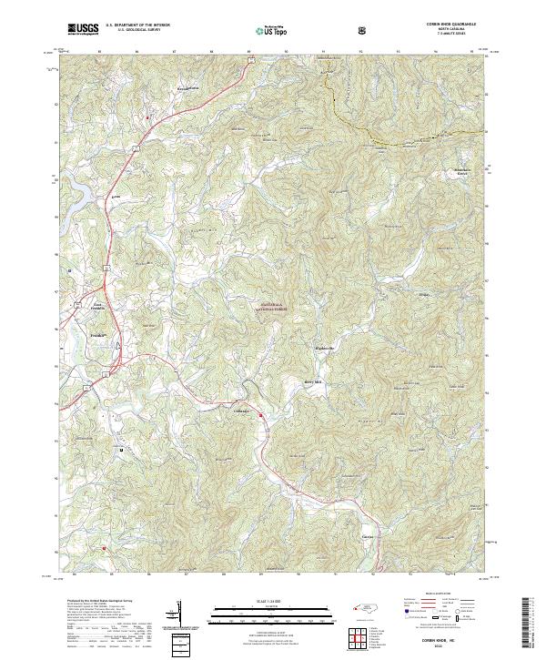
1935 Corbin Knob
Macon County, NC

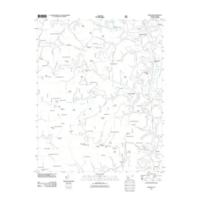
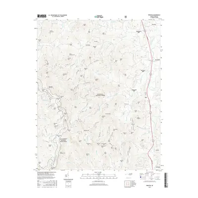
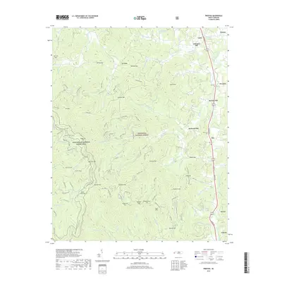
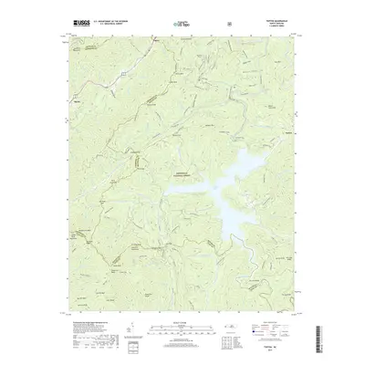
1935 Prentiss
Macon County, NC

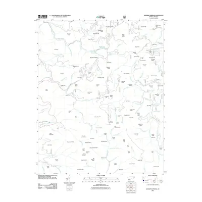
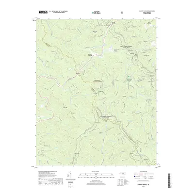
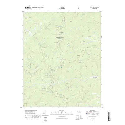
1935 Rainbow Springs
Macon County, NC

1935 Scaly
Macon County, NC

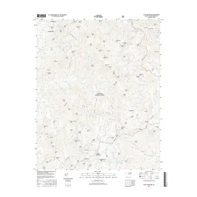
1935 Topton
Macon County, NC

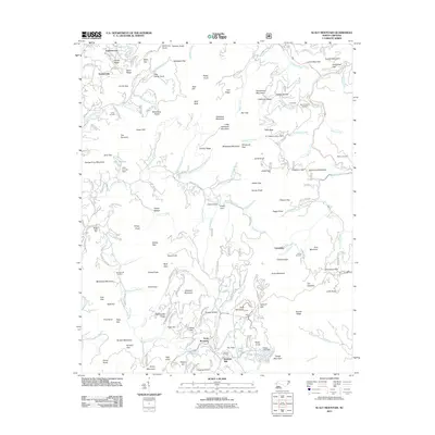
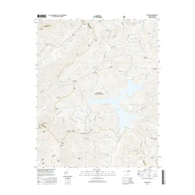
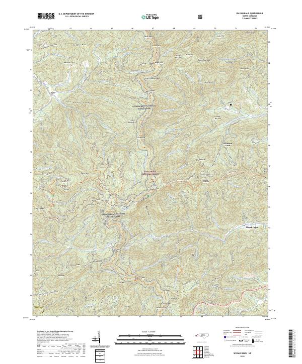
1935 Wayah Bald
Macon County, NC
1942 Wayah Bald
Macon County, NC
1946 Corbin Knob
Macon County, NC
1946 Prentiss
Macon County, NC
1946 Scaly Mountain
Macon County, NC
1947 Corbin Knob
Macon County, NC
1947 Prentiss
Macon County, NC
1947 Scaly
Macon County, NC
1957 Rainbow Springs
Macon County, NC
1957 Topton
Macon County, NC
1957 Wayah Bald
Macon County, NC

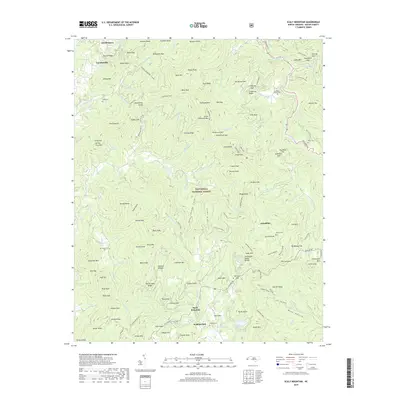
1983 Fontana Lake
Macon County, NC
2011 Corbin Knob
Macon County, NC
2011 Prentiss
Macon County, NC
2011 Rainbow Springs
Macon County, NC
2011 Scaly Mountain
Macon County, NC
2011 Topton
Macon County, NC
2011 Wayah Bald
Macon County, NC
2013 Corbin Knob
Macon County, NC
2013 Prentiss
Macon County, NC
2013 Rainbow Springs
Macon County, NC
2013 Scaly Mountain
Macon County, NC
2013 Topton
Macon County, NC
2013 Wayah Bald
Macon County, NC
2016 Corbin Knob
Macon County, NC
2016 Prentiss
Macon County, NC
2016 Rainbow Springs
Macon County, NC
2016 Scaly Mountain
Macon County, NC
2016 Topton
Macon County, NC
2016 Wayah Bald
Macon County, NC
2019 Corbin Knob
Macon County, NC
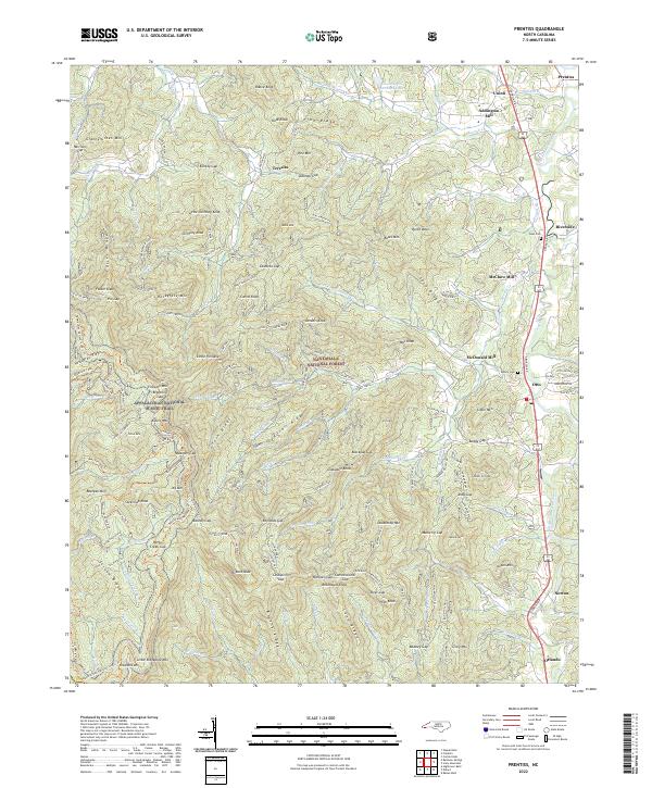
2019 Prentiss
Macon County, NC
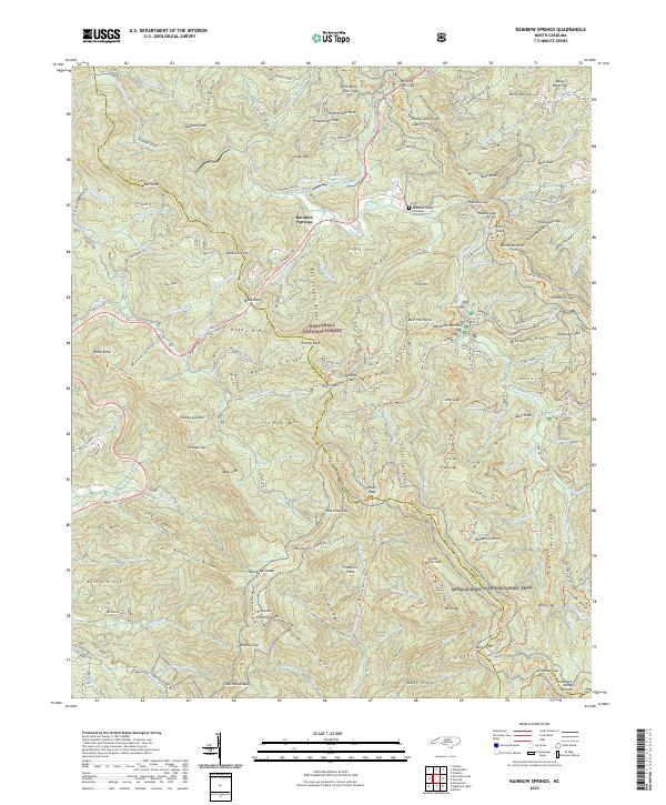
2019 Rainbow Springs
Macon County, NC
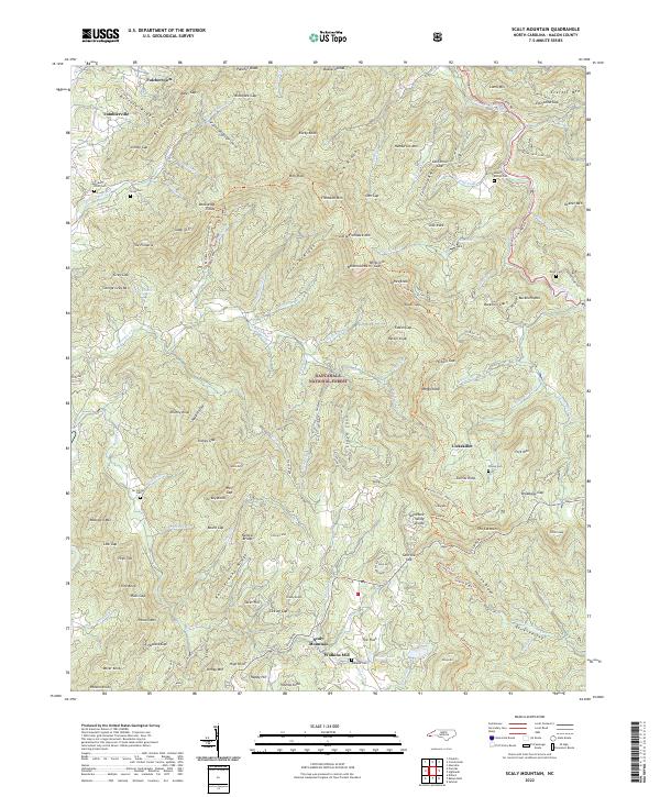
2019 Scaly Mountain
Macon County, NC
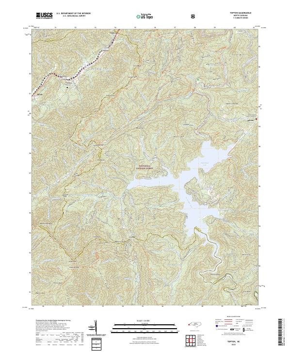
2019 Topton
Macon County, NC
2019 Wayah Bald
Macon County, NC
2022 Corbin Knob
Macon County, NC
2022 Prentiss
Macon County, NC
2022 Rainbow Springs
Macon County, NC
2022 Scaly Mountain
Macon County, NC
2022 Topton
Macon County, NC
2022 Wayah Bald
Macon County, NC