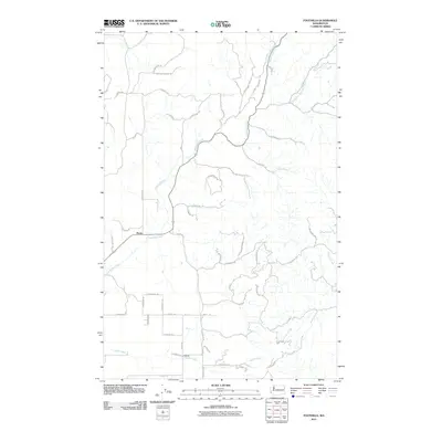
2011 Map of Foothills
USGS Topo · Published 2011About this map
The community of Peone lies at the intersection of rural transit routes in northeast Spokane County, where the landscape transitions from open valley floors into the rising timber of the Selkirk foothills. In 2011, this area maintained its pastoral character, defined by the winding course of Deadman Creek and its tributary, South Fork-Deadman Creek, which cut through the drainage basins north of the settlement. To the south, the namesake Foothills area is drained by Peone Creek, illustrating the complex local hydrology that shaped early homesteading and modern residential patterns.
Find a feature on this map
46 named features on this map. Tap any name to fly to it.
Don’t see what you’re looking for? This feature index may not catch every label — zoom into the map to look around manually.
Map Details
Editions of this 2011 Foothills Map
This is the sole edition of this map. No revisions or reprints were ever made.
Other maps of this area

1901 · Spokane
USGS Topo · 1:125,000

1943 · Mt Spokane
USGS Topo · 1:62,500

1949 · Deer Park
USGS Topo · 1:62,500

1949 · Greenacres
USGS Topo · 1:62,500

1950 · Spokane NE
USGS Topo · 1:24,000

1950 · Mt Spokane
USGS Topo · 1:62,500

1950 · Spokane
USGS Topo · 1:62,500

1951 · Deer Park
USGS Topo · 1:62,500

1951 · Greenacres
USGS Topo · 1:62,500

1955 · Spokane
USGS Topo · 1:250,000