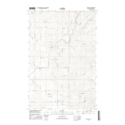
2017 Map of Foothills
USGS Topo · Published 2017About this map
Peone and the surrounding drainage of Deadman Cr dominate this 2017 landscape northeast of Spokane, where rural development meets the rising terrain of the Selkirk foothills. The map documents a network of named country roads and private drives that crisscross the area, such as N Mount Carlton Rd and E Foothills Rd, serving local residences and small-scale agriculture. This modern survey reflects the transition from the flat agricultural plains of the Spokane Valley into the forested elevations near Big Meadows.
Find a feature on this map
73 named features on this map. Tap any name to fly to it.
Don’t see what you’re looking for? This feature index may not catch every label — zoom into the map to look around manually.
Map Details
Editions of this 2017 Foothills Map
This is the sole edition of this map. No revisions or reprints were ever made.
Other maps of this area

1901 · Spokane
USGS Topo · 1:125,000

1943 · Mt Spokane
USGS Topo · 1:62,500

1949 · Deer Park
USGS Topo · 1:62,500

1949 · Greenacres
USGS Topo · 1:62,500

1950 · Spokane NE
USGS Topo · 1:24,000

1950 · Mt Spokane
USGS Topo · 1:62,500

1950 · Spokane
USGS Topo · 1:62,500

1951 · Deer Park
USGS Topo · 1:62,500

1951 · Greenacres
USGS Topo · 1:62,500

1955 · Spokane
USGS Topo · 1:250,000