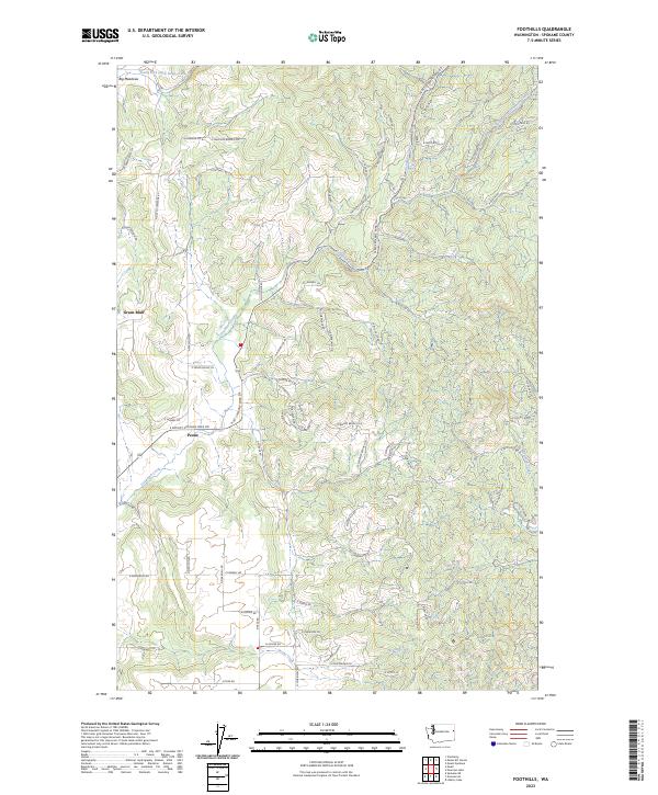
2023 Map of Foothills
USGS Topo · Published 2023About this map
The plateau community of Green Bluff defines the northwestern portion of this landscape, an area long associated with fruit orchards and family agriculture north of Spokane. The terrain transitions from these elevated agricultural fields into the drainage basins of Deadman Creek and South Fork Deadman Creek, which carve through the foothills as they flow toward the west. Further south, the settlement of Peone sits near the headwaters of Peone Creek, where the valley floor begins to rise into the more densely forested ridges of the Selkirk Mountains foothills. A network of rural routes, such as N Day Mt Spokane Rd and E Mount Spokane Park Dr, provides access to the higher elevations and recreational areas. The northeastern corner of the map features the remote headwaters of the South Fork Little Deep Creek and the high-altitude opening of Big Meadows, illustrating the varied topography between cultivated valley floors and timbered mountain slopes.
Find a feature on this map
77 named features on this map. Tap any name to fly to it.
Don’t see what you’re looking for? This feature index may not catch every label — zoom into the map to look around manually.
Map Details
Editions of this 2023 Foothills Map
This is the sole edition of this map. No revisions or reprints were ever made.
Other maps of this area

1901 · Spokane
USGS Topo · 1:125,000

1943 · Mt Spokane
USGS Topo · 1:62,500

1949 · Deer Park
USGS Topo · 1:62,500

1949 · Greenacres
USGS Topo · 1:62,500

1950 · Spokane NE
USGS Topo · 1:24,000

1950 · Mt Spokane
USGS Topo · 1:62,500

1950 · Spokane
USGS Topo · 1:62,500

1951 · Deer Park
USGS Topo · 1:62,500

1951 · Greenacres
USGS Topo · 1:62,500

1955 · Spokane
USGS Topo · 1:250,000