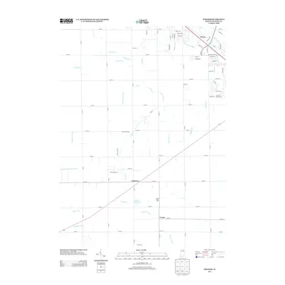
2013 Map of Foraker
USGS Topo · Published 2013About this map
Dairy operations and an intricate network of drainage ditches define the agricultural landscape of this Elkhart County region. The community of Foraker sits in the southern portion of the quadrangle, while the settlement of Southwest occupies the central crossroads. The map reveals the critical role of water management in northern Indiana farming, documented through named waterways such as Kehr Ditch, New Miller Ditch, and Weaver Ditch that feed into larger systems like the Elkhart River in the northeast corner near Midway. Local industry and heritage are prominently marked by several family-run agricultural sites, including Weaver Dairy Farm, Martin Dairy Farms, Quint Dairy, and Yellow Creek Farm. These localized names, alongside the Miller Cemetery, offer specific points of interest for genealogists tracing family land holdings and the evolution of rural townships during the early twenty-first century.
Find a feature on this map
75 named features on this map. Tap any name to fly to it.
Don’t see what you’re looking for? This feature index may not catch every label — zoom into the map to look around manually.
Map Details
Editions of this 2013 Foraker Map
This is the sole edition of this map. No revisions or reprints were ever made.
Other maps of this area

1951 · Milford
USGS Topo · 1:24,000

1953 · Fort Wayne
USGS Topo · 1:250,000

1953 · Chicago
USGS Topo · 1:250,000

1956 · Fort Wayne
USGS Topo · 1:250,000

1957 · Chicago
USGS Topo · 1:250,000

1958 · Nappanee West
USGS Topo · 1:24,000

1958 · Osceola
USGS Topo · 1:24,000

1958 · Nappanee East
USGS Topo · 1:24,000

1959 · Goshen
USGS Topo · 1:24,000

1960 · Foraker
USGS Topo · 1:24,000