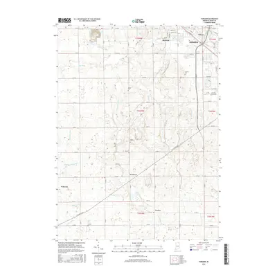
2016 Map of Foraker
USGS Topo · Published 2016About this map
The Elkhart River winds through the northeast corner of this Elkhart County landscape, where the city of Goshen meets the rural agricultural lands to the south and west. This 2016 survey documents a territory defined by an intricate network of drainage ditches, including Fetters Martin Ditch, Angelmyer Loucke Ditch, and Davidhizer Ditch, reflecting the engineered hydrology essential for farming this region. Small residential clusters and crossroads communities like Southwest, Midway, and the unincorporated community of Foraker are scattered across the township grid.
Find a feature on this map
72 named features on this map. Tap any name to fly to it.
Don’t see what you’re looking for? This feature index may not catch every label — zoom into the map to look around manually.
Map Details
Editions of this 2016 Foraker Map
This is the sole edition of this map. No revisions or reprints were ever made.
Other maps of this area

1951 · Milford
USGS Topo · 1:24,000

1953 · Fort Wayne
USGS Topo · 1:250,000

1953 · Chicago
USGS Topo · 1:250,000

1956 · Fort Wayne
USGS Topo · 1:250,000

1957 · Chicago
USGS Topo · 1:250,000

1958 · Nappanee West
USGS Topo · 1:24,000

1958 · Osceola
USGS Topo · 1:24,000

1958 · Nappanee East
USGS Topo · 1:24,000

1959 · Goshen
USGS Topo · 1:24,000

1960 · Foraker
USGS Topo · 1:24,000