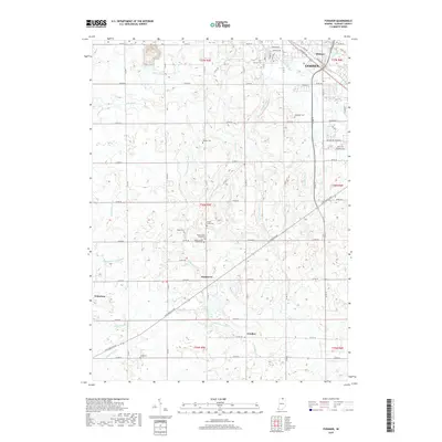
2019 Map of Foraker
USGS Topo · Published 2019About this map
Goshen and the surrounding agricultural townships define this corner of Elkhart County, where a dense network of drainage ditches—including Fulmer Ditch, Hoke Ditch, and Shaffer Ditch—manages the low-lying terrain. The landscape is marked by several small rural hubs such as Foraker, Southwest, and Midway, along with the eastern edge of Wakarusa. This area is particularly significant for genealogical research due to the high density of family and community burial grounds. Unique distinctions are made between the Yellow Creek Brick Cem and the Yellow Creek Frame Cem, while other family-named sites like Wenger Cem, Stutsman Cem, and Bull Cem reflect the long-standing settlement patterns of the region. The Elkhart River clips the northeast corner, while the Mapleheart Trail provides a modern recreational link through this historic farming district.
Find a feature on this map
62 named features on this map. Tap any name to fly to it.
Don’t see what you’re looking for? This feature index may not catch every label — zoom into the map to look around manually.
Map Details
Editions of this 2019 Foraker Map
This is the sole edition of this map. No revisions or reprints were ever made.
Other maps of this area

1951 · Milford
USGS Topo · 1:24,000

1953 · Fort Wayne
USGS Topo · 1:250,000

1953 · Chicago
USGS Topo · 1:250,000

1956 · Fort Wayne
USGS Topo · 1:250,000

1957 · Chicago
USGS Topo · 1:250,000

1958 · Nappanee West
USGS Topo · 1:24,000

1958 · Osceola
USGS Topo · 1:24,000

1958 · Nappanee East
USGS Topo · 1:24,000

1959 · Goshen
USGS Topo · 1:24,000

1960 · Foraker
USGS Topo · 1:24,000