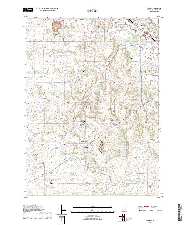
2022 Map of Foraker
USGS Topo · Published 2022About this map
Midway and the southern reaches of Goshen anchor this Elkhart County landscape, where the Elkhart River flows through the northeastern corner near the Elkhart Trails Trl. The area is characterized by an extensive network of drainage ditches, including Shaffer Ditch, Hoke Ditch, and Angelmyer Loucks Ditch, which manage the water table for the surrounding agricultural fields. Small unincorporated settlements like Southwest and Foraker are scattered across the township lines, connected by a rigid grid of county roads.
Find a feature on this map
74 named features on this map. Tap any name to fly to it.
Don’t see what you’re looking for? This feature index may not catch every label — zoom into the map to look around manually.
Map Details
Editions of this 2022 Foraker Map
This is the sole edition of this map. No revisions or reprints were ever made.
Other maps of this area

1951 · Milford
USGS Topo · 1:24,000

1953 · Fort Wayne
USGS Topo · 1:250,000

1953 · Chicago
USGS Topo · 1:250,000

1956 · Fort Wayne
USGS Topo · 1:250,000

1957 · Chicago
USGS Topo · 1:250,000

1958 · Nappanee West
USGS Topo · 1:24,000

1958 · Osceola
USGS Topo · 1:24,000

1958 · Nappanee East
USGS Topo · 1:24,000

1959 · Goshen
USGS Topo · 1:24,000

1960 · Foraker
USGS Topo · 1:24,000