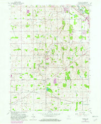
1960 Map of Foraker
USGS Topo · Published 1982About this map
Yellow Creek winds through a landscape defined by small-scale agriculture and early rural infrastructure in this mid-century survey of Elkhart County. The map documents a dense network of local institutions, from the Bashor Childrens Home in the north to the settlement of Foraker in the south. The area is notable for its high concentration of country churches and family-named cemeteries, such as Bethel Ch, Wisler Ch, Wenger Cem, and Hoke Cem, which reflect the region's deep genealogical roots.
Find a feature on this map
47 named features on this map. Tap any name to fly to it.
Don’t see what you’re looking for? This feature index may not catch every label — zoom into the map to look around manually.
Map Details
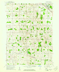
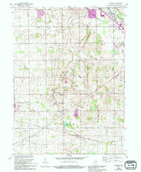
Editions of this 1960 Foraker Map
4 editions found
Other maps of this area

1951 · Milford
USGS Topo · 1:24,000

1953 · Fort Wayne
USGS Topo · 1:250,000

1953 · Chicago
USGS Topo · 1:250,000

1956 · Fort Wayne
USGS Topo · 1:250,000

1957 · Chicago
USGS Topo · 1:250,000

1958 · Nappanee West
USGS Topo · 1:24,000

1958 · Osceola
USGS Topo · 1:24,000

1958 · Nappanee East
USGS Topo · 1:24,000

1959 · Goshen
USGS Topo · 1:24,000

1960 · Foraker
USGS Topo · 1:24,000