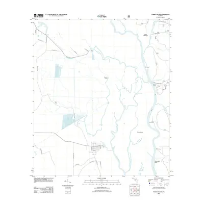
2012 Map of Forbes Island
USGS Topo · Published 2012About this map
The Apalachicola River corridor dominates this 2012 survey, revealing a landscape defined by its intricate network of waterways and remote landings. The river's winding course is accompanied by the Brothers River and several cut-offs, creating isolated land masses such as Forbes Island and Downes Island. This area in Franklin County serves as a vital point for river navigation and local transport, as evidenced by the numerous named landings including Brickyard Landing, Smith Creek Landing, and Willis Landing.
Find a feature on this map
45 named features on this map. Tap any name to fly to it.
Don’t see what you’re looking for? This feature index may not catch every label — zoom into the map to look around manually.
Map Details
Editions of this 2012 Forbes Island Map
This is the sole edition of this map. No revisions or reprints were ever made.
Other maps of this area

1943 · Jackson River
USGS Topo · 1:24,000

1944 · White City
USGS Topo · 1:24,000

1944 · Forbes Island
USGS Topo · 1:24,000

1945 · Forbes Island
USGS Topo · 1:31,680

1945 · Lake Wimico
USGS Topo · 1:31,680

1945 · Kennedy Creek
USGS Topo · 1:31,680

1945 · White City
USGS Topo · 1:31,680

1945 · Beverly
USGS Topo · 1:31,680

1945 · Wewahitchka
USGS Topo · 1:31,680

1945 · Jackson River
USGS Topo · 1:31,680