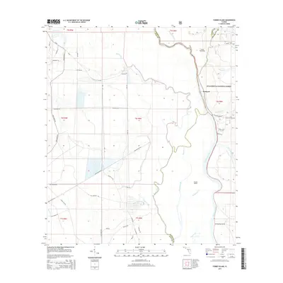
2015 Map of Forbes Island
USGS Topo · Published 2015About this map
The Apalachicola River dominates this riverine landscape, defining the boundaries where Gulf, Liberty, and Franklin counties meet. The settlement of Brickyard sits along the eastern bank, positioned at a critical junction of waterway and road access near the Brickyard Landing Rd. This area is characterized by an intricate network of secondary channels and creeks, including the Brothers River, Bearman Creek, and Smokehouse Cr, which carve out landmasses like Forbes Island and the evocatively named Bloody Bluff Island.
Find a feature on this map
47 named features on this map. Tap any name to fly to it.
Don’t see what you’re looking for? This feature index may not catch every label — zoom into the map to look around manually.
Map Details
Editions of this 2015 Forbes Island Map
This is the sole edition of this map. No revisions or reprints were ever made.
Other maps of this area

1943 · Jackson River
USGS Topo · 1:24,000

1944 · White City
USGS Topo · 1:24,000

1944 · Forbes Island
USGS Topo · 1:24,000

1945 · Forbes Island
USGS Topo · 1:31,680

1945 · Lake Wimico
USGS Topo · 1:31,680

1945 · Kennedy Creek
USGS Topo · 1:31,680

1945 · White City
USGS Topo · 1:31,680

1945 · Beverly
USGS Topo · 1:31,680

1945 · Wewahitchka
USGS Topo · 1:31,680

1945 · Jackson River
USGS Topo · 1:31,680