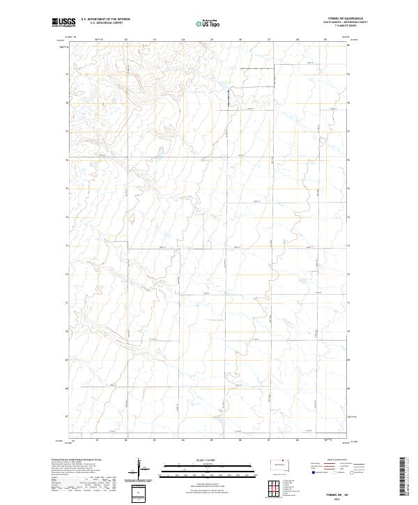
2021 Map of Forbes SW
USGS Topo · Published 2021About this map
Willow Cr meanders across this rural section of McPherson County, defining the drainage patterns of a landscape marked by a disciplined grid of section lines and range boundaries. The terrain is organized by established thoroughfares such as Co Hwy 19 and Cty Hwy 21, which facilitate travel through the agricultural townships of t127n r68w and t128n r67w. The network of gravel and local roads, including 364th Ave and 109th St, reflects a late-twentieth-century development of the Great Plains interior, where small-scale drainage features and intermittent streams dictate the placement of crossings. This 2021 document by the U.S. Geological Survey provides a precise view of modern land division and water resources in this sparsely populated region of South Dakota.
Find a feature on this map
23 named features on this map. Tap any name to fly to it.
Don’t see what you’re looking for? This feature index may not catch every label — zoom into the map to look around manually.
Map Details
Editions of this 2021 Forbes SW Map
This is the sole edition of this map. No revisions or reprints were ever made.
Other maps of this area

1899 · Ellendale
USGS Topo · 1:125,000

1954 · Aberdeen
USGS Topo · 1:250,000

1956 · Aberdeen
USGS Topo · 1:250,000

1968 · Long Lake SE
USGS Topo · 1:24,000

1968 · Forbes
USGS Topo · 1:24,000

1968 · Long Lake NE
USGS Topo · 1:24,000

1968 · Forbes SE
USGS Topo · 1:24,000
1968 · Forbes NW
USGS Topo · 1:24,000

1968 · Forbes SW
USGS Topo · 1:24,000

1970 · Leola
USGS Topo · 1:24,000