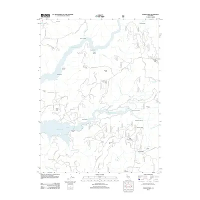
2012 Map of Forbestown
USGS Topo · Published 2012About this map
Old Forbestown and Forbestown anchor the southeastern portion of this landscape, situated above the deeply incised Forbestown Ravine. The terrain is defined by the massive reach of Lake Oroville, which has transformed the historical canyons of the S Fork Feather River into a sprawling reservoir system. Traces of earlier occupancy and utility are visible through features like the Indian Cem near Bean Creek Bar, and the industrial infrastructure of the Forbestown Powerhouse and Forbestown Tunnel.
Find a feature on this map
104 named features on this map. Tap any name to fly to it.
Don’t see what you’re looking for? This feature index may not catch every label — zoom into the map to look around manually.
Map Details
Editions of this 2012 Forbestown Map
This is the sole edition of this map. No revisions or reprints were ever made.
Other maps of this area

1888 · Smartsville
USGS Topo · 1:125,000

1888 · Bidwell Bar
USGS Topo · 1:125,000

1891 · Bidwell Bar
USGS Topo · 1:125,000

1891 · Smartsville
USGS Topo · 1:125,000

1892 · Smartsville
USGS Topo · 1:125,000

1893 · Bidwell Bar
USGS Topo · 1:125,000

1894 · Smartsville
USGS Topo · 1:125,000

1895 · Bidwell Bar
USGS Topo · 1:125,000

1895 · Smartsville
USGS Topo · 1:125,000

1897 · Bidwell Bar
USGS Topo · 1:125,000