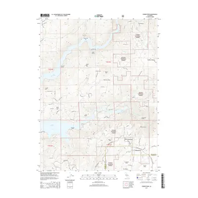
2015 Map of Forbestown
USGS Topo · Published 2015About this map
Forbestown and its predecessor, Old Forbestown, anchor this portion of the northern Sierra Nevada foothills near the Butte and Yuba County line. The landscape is defined by the significant hydraulic infrastructure and deep ravines of the Plumas National Forest, including the Forbestown Tunnel and the waters of the S Fork Feather River. The eastern reaches of Lake Oroville extend into the terrain, crossed by the Enterprise Bridge and flanked by landmarks like Crystal Hill and Rocky Point Peak.
Find a feature on this map
76 named features on this map. Tap any name to fly to it.
Don’t see what you’re looking for? This feature index may not catch every label — zoom into the map to look around manually.
Map Details
Editions of this 2015 Forbestown Map
This is the sole edition of this map. No revisions or reprints were ever made.
Other maps of this area

1888 · Smartsville
USGS Topo · 1:125,000

1888 · Bidwell Bar
USGS Topo · 1:125,000

1891 · Bidwell Bar
USGS Topo · 1:125,000

1891 · Smartsville
USGS Topo · 1:125,000

1892 · Smartsville
USGS Topo · 1:125,000

1893 · Bidwell Bar
USGS Topo · 1:125,000

1894 · Smartsville
USGS Topo · 1:125,000

1895 · Bidwell Bar
USGS Topo · 1:125,000

1895 · Smartsville
USGS Topo · 1:125,000

1897 · Bidwell Bar
USGS Topo · 1:125,000