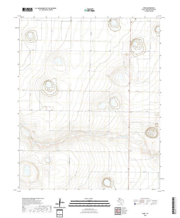
2022 Map of Ford
USGS Topo · Published 2022About this map
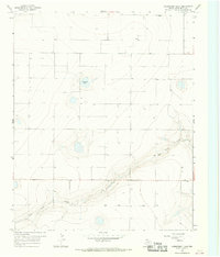
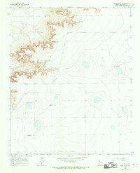
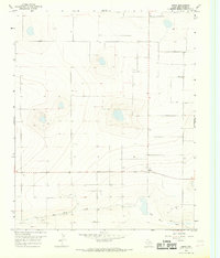
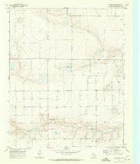
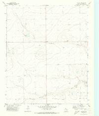
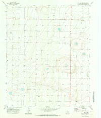
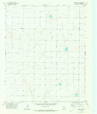
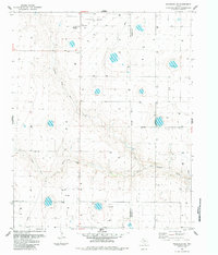
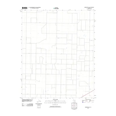
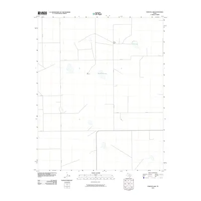
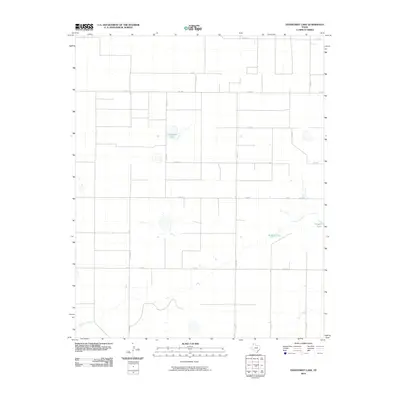
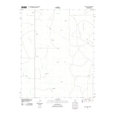
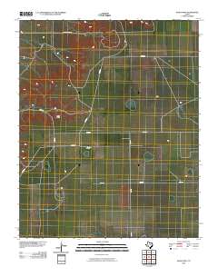
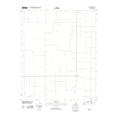
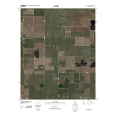
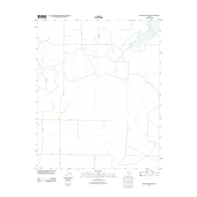
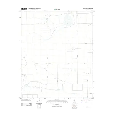
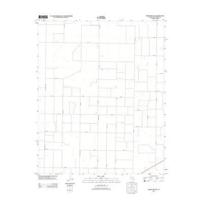
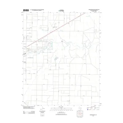
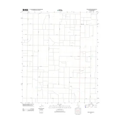
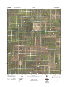
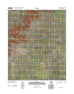
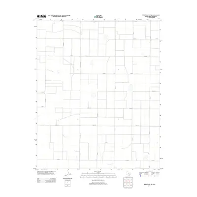
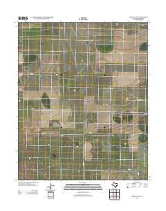
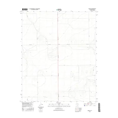
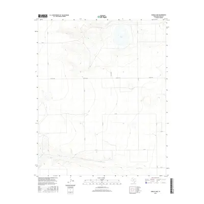
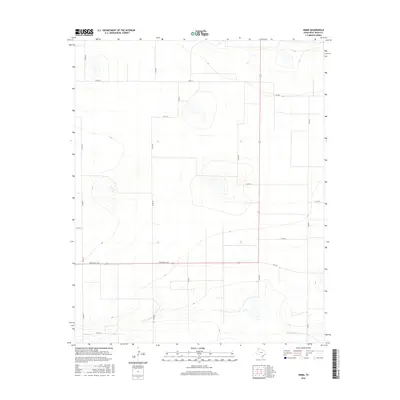
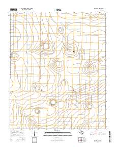
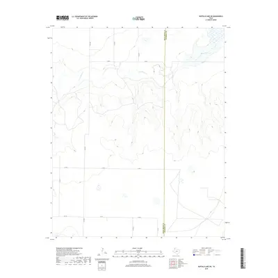
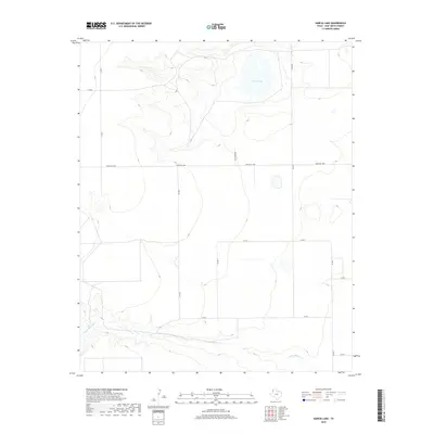
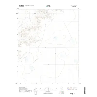
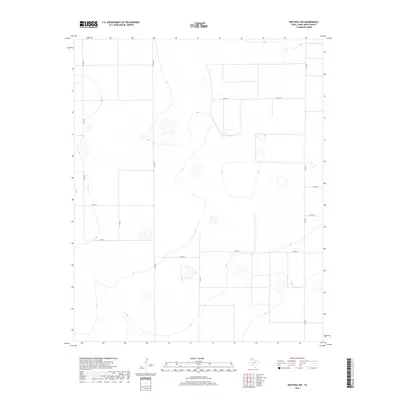
Palo Duro Cr cuts an east-west path through the high plains of Deaf Smith County, defining the local hydrology alongside Grigsby Lake. This landscape is primarily shaped by the grid of rural infrastructure, where routes like Tierra Blanca Rd and FM 1412 provide the skeleton for the region's agricultural economy. The terrain exhibits the characteristic depressions and drainage patterns of the Llano Estacado, with a network of county roads such as Co Rd 25 and Co Rd HH connecting isolated farmsteads and ranching sections. The map illustrates a contemporary view of this sparsely populated ranch land, where the natural watercourses of the Palo Duro Cr basin remain the most significant landmarks among the surveyed section lines.
Find a feature on this map
13 named features on this map. Tap any name to fly to it.
Don’t see what you’re looking for? This feature index may not catch every label — zoom into the map to look around manually.
Map Details
Editions of this 2022 Ford Map
This is the sole edition of this map. No revisions or reprints were ever made.
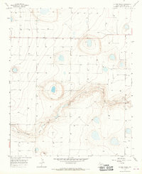
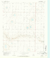
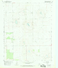
Historical Maps of Ford Through Time
125 maps found
1965 Allison Ranch
Deaf Smith County, TX
1966 Ford
Deaf Smith County, TX
1966 Norton Lake
Deaf Smith County, TX
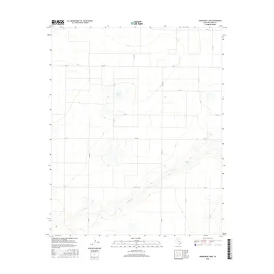
1966 Overstreet Lake
Deaf Smith County, TX
1966 Sand Point
Deaf Smith County, TX
1966 Simms
Deaf Smith County, TX
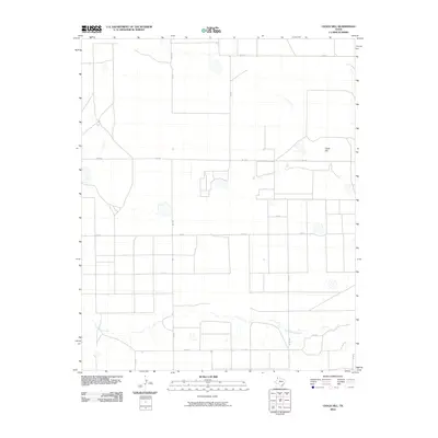
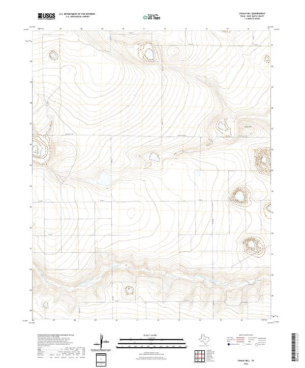
1970 Chalk Hill
Deaf Smith County, TX
1971 Bootleg
Deaf Smith County, TX
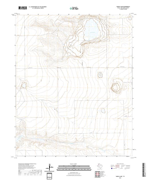
1971 Garcia Lake
Deaf Smith County, TX
1971 Hereford NE
Deaf Smith County, TX
1971 Hereford SE
Deaf Smith County, TX
1971 Milo Center
Deaf Smith County, TX
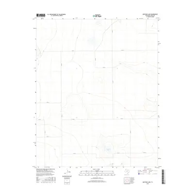
1971 Mustang Lake
Deaf Smith County, TX
1971 Walcott
Deaf Smith County, TX
1971 Westway
Deaf Smith County, TX
1971 Westway NE
Deaf Smith County, TX
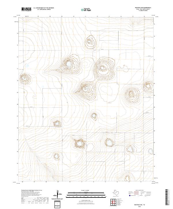
1971 Westway NW
Deaf Smith County, TX
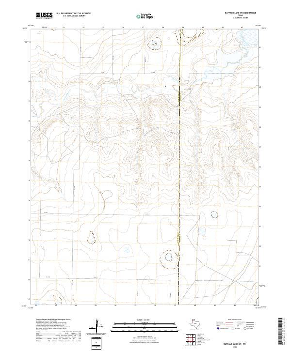
1984 Buffalo Lake SW
Deaf Smith County, TX
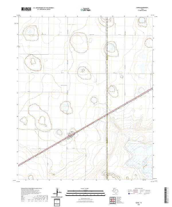
1984 Dawn
Deaf Smith County, TX
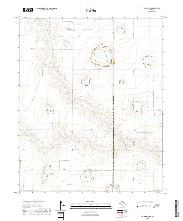
1984 Wildorado SW
Deaf Smith County, TX
2010 Allison Ranch
Deaf Smith County, TX
2010 Bootleg
Deaf Smith County, TX
2010 Buffalo Lake SW
Deaf Smith County, TX
2010 Chalk Hill
Deaf Smith County, TX
2010 Dawn
Deaf Smith County, TX
2010 Ford
Deaf Smith County, TX
2010 Garcia Lake
Deaf Smith County, TX
2010 Hereford NE
Deaf Smith County, TX
2010 Hereford SE
Deaf Smith County, TX
2010 Milo Center
Deaf Smith County, TX
2010 Mustang Lake
Deaf Smith County, TX
2010 Norton Lake
Deaf Smith County, TX
2010 Overstreet Lake
Deaf Smith County, TX
2010 Rock Camp
Deaf Smith County, TX
2010 Sand Point
Deaf Smith County, TX
2010 Simms
Deaf Smith County, TX
2010 Walcott
Deaf Smith County, TX
2010 Westway
Deaf Smith County, TX
2010 Westway NE
Deaf Smith County, TX
2010 Westway NW
Deaf Smith County, TX
2010 Wildorado SW
Deaf Smith County, TX
2012 Allison Ranch
Deaf Smith County, TX
2012 Bootleg
Deaf Smith County, TX
2012 Buffalo Lake SW
Deaf Smith County, TX
2012 Chalk Hill
Deaf Smith County, TX
2012 Dawn
Deaf Smith County, TX
2012 Ford
Deaf Smith County, TX
2012 Garcia Lake
Deaf Smith County, TX
2012 Hereford NE
Deaf Smith County, TX
2012 Hereford SE
Deaf Smith County, TX
2012 Milo Center
Deaf Smith County, TX
2012 Mustang Lake
Deaf Smith County, TX
2012 Norton Lake
Deaf Smith County, TX
2012 Overstreet Lake
Deaf Smith County, TX
2012 Rock Camp
Deaf Smith County, TX
2012 Sand Point
Deaf Smith County, TX
2012 Simms
Deaf Smith County, TX
2012 Walcott
Deaf Smith County, TX
2012 Westway
Deaf Smith County, TX
2012 Westway NE
Deaf Smith County, TX
2012 Westway NW
Deaf Smith County, TX
2012 Wildorado SW
Deaf Smith County, TX
2016 Allison Ranch
Deaf Smith County, TX
2016 Bootleg
Deaf Smith County, TX
2016 Buffalo Lake SW
Deaf Smith County, TX
2016 Chalk Hill
Deaf Smith County, TX
2016 Dawn
Deaf Smith County, TX

2016 Ford
Deaf Smith County, TX
2016 Garcia Lake
Deaf Smith County, TX
2016 Hereford NE
Deaf Smith County, TX
2016 Hereford SE
Deaf Smith County, TX
2016 Milo Center
Deaf Smith County, TX
2016 Mustang Lake
Deaf Smith County, TX

2016 Norton Lake
Deaf Smith County, TX
2016 Overstreet Lake
Deaf Smith County, TX
2016 Rock Camp
Deaf Smith County, TX
2016 Sand Point
Deaf Smith County, TX
2016 Simms
Deaf Smith County, TX
2016 Walcott
Deaf Smith County, TX
2016 Westway
Deaf Smith County, TX
2016 Westway NE
Deaf Smith County, TX
2016 Westway NW
Deaf Smith County, TX
2016 Wildorado SW
Deaf Smith County, TX
2019 Allison Ranch
Deaf Smith County, TX
2019 Bootleg
Deaf Smith County, TX
2019 Buffalo Lake SW
Deaf Smith County, TX
2019 Chalk Hill
Deaf Smith County, TX
2019 Dawn
Deaf Smith County, TX
2019 Ford
Deaf Smith County, TX
2019 Garcia Lake
Deaf Smith County, TX
2019 Hereford NE
Deaf Smith County, TX
2019 Hereford SE
Deaf Smith County, TX
2019 Milo Center
Deaf Smith County, TX
2019 Mustang Lake
Deaf Smith County, TX
2019 Norton Lake
Deaf Smith County, TX
2019 Overstreet Lake
Deaf Smith County, TX
2019 Rock Camp
Deaf Smith County, TX
2019 Sand Point
Deaf Smith County, TX
2019 Simms
Deaf Smith County, TX

2019 Walcott
Deaf Smith County, TX
2019 Westway
Deaf Smith County, TX
2019 Westway NE
Deaf Smith County, TX
2019 Westway NW
Deaf Smith County, TX
2019 Wildorado SW
Deaf Smith County, TX
2022 Allison Ranch
Deaf Smith County, TX
2022 Bootleg
Deaf Smith County, TX
2022 Buffalo Lake SW
Deaf Smith County, TX
2022 Chalk Hill
Deaf Smith County, TX
2022 Dawn
Deaf Smith County, TX
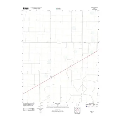
2022 Ford
Deaf Smith County, TX
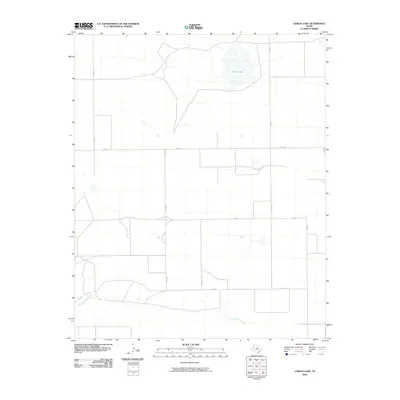
2022 Garcia Lake
Deaf Smith County, TX
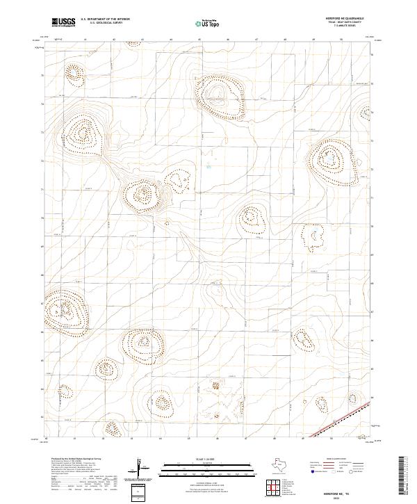
2022 Hereford NE
Deaf Smith County, TX
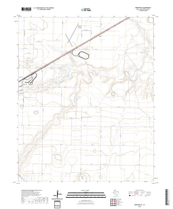
2022 Hereford SE
Deaf Smith County, TX
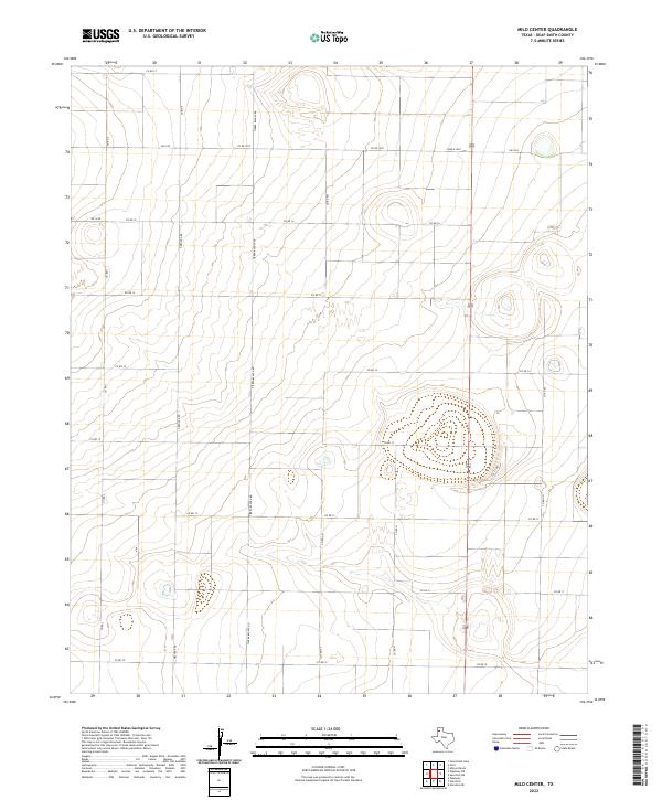
2022 Milo Center
Deaf Smith County, TX
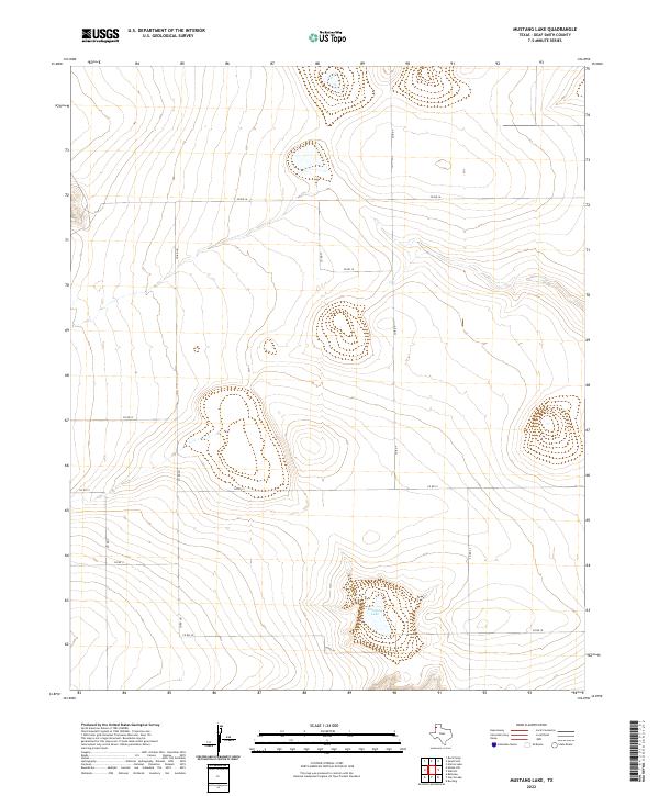
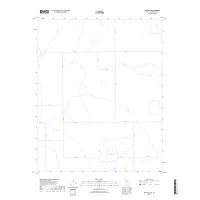
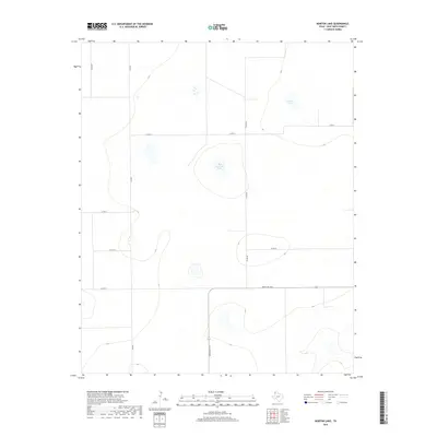
2022 Mustang Lake
Deaf Smith County, TX
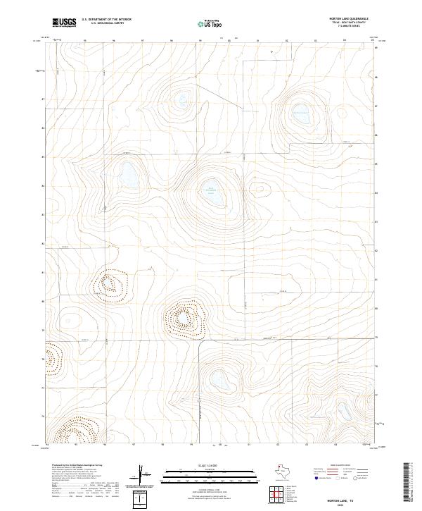
2022 Norton Lake
Deaf Smith County, TX
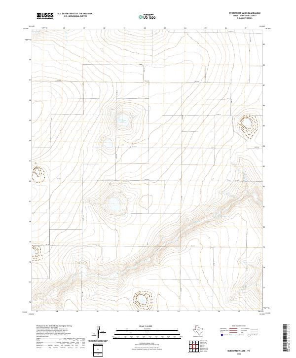
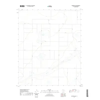
2022 Overstreet Lake
Deaf Smith County, TX
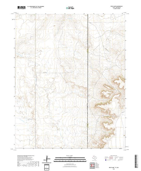
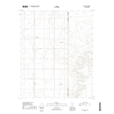
2022 Rock Camp
Deaf Smith County, TX
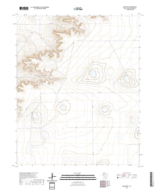
2022 Sand Point
Deaf Smith County, TX
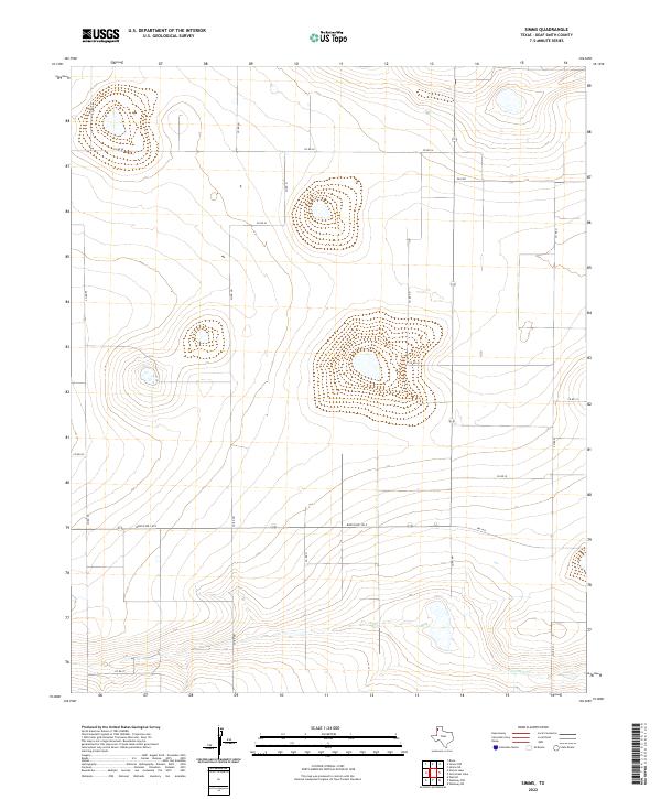
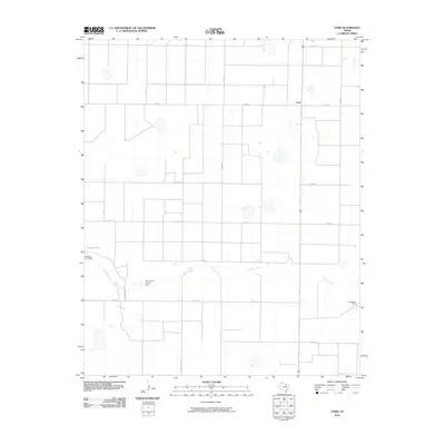
2022 Simms
Deaf Smith County, TX
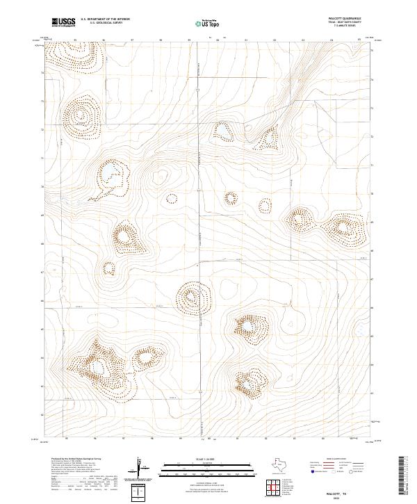
2022 Walcott
Deaf Smith County, TX
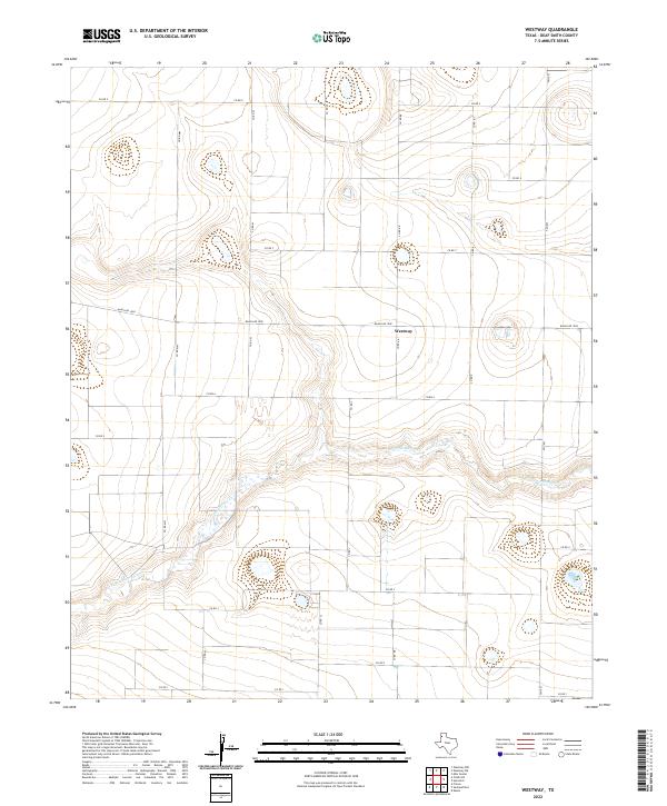
2022 Westway
Deaf Smith County, TX
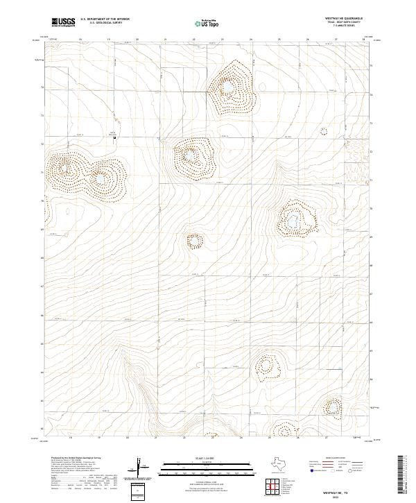
2022 Westway NE
Deaf Smith County, TX
2022 Westway NW
Deaf Smith County, TX
2022 Wildorado SW
Deaf Smith County, TX