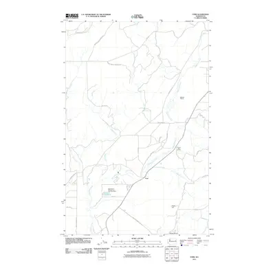
2011 Map of Ford
USGS Topo · Published 2011About this map
Ford serves as a central point in this eastern Washington landscape, where the confluence of several vital watercourses including Chamokane Creek, Tshimakain Creek, and Mission Creek defines the local topography. To the north and west, the boundary of the Spokane Indian Reservation encompasses high ground and drainages like Thomas Creek and Sams Creek.
Find a feature on this map
34 named features on this map. Tap any name to fly to it.
Don’t see what you’re looking for? This feature index may not catch every label — zoom into the map to look around manually.
Map Details
Editions of this 2011 Ford Map
This is the sole edition of this map. No revisions or reprints were ever made.
Other maps of this area

1927 · Chewelah
USGS Topo · 1:125,000

1930 · Chewelah
USGS Topo · 1:125,000

1944 · Clayton
USGS Topo · 1:62,500

1944 · Wellpinit
USGS Topo · 1:62,500

1950 · Clayton
USGS Topo · 1:62,500

1953 · Wellpinit
USGS Topo · 1:62,500

1955 · Spokane
USGS Topo · 1:250,000

1958 · Spokane
USGS Topo · 1:250,000

1958 · Sandpoint
USGS Topo · 1:250,000

1963 · Sandpoint
USGS Topo · 1:250,000