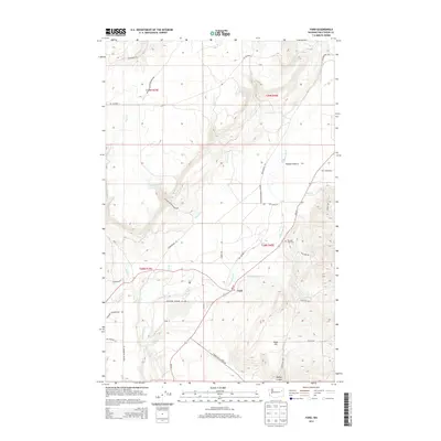
2014 Map of Ford
USGS Topo · Published 2014About this map
Ford and the expansive reaches of Walkers Prairie define this portion of Stevens County, situated within the Spokane Indian Reservation. The landscape is marked by a legacy of regional resource extraction, signaled by the presence of Northside Uranium City Rd. This corridor, along with several Bureau of Indian Affairs routes like BIA Highway 5 and BIA Highway 8, provides the primary infrastructure through the varying elevations of Happy Hill and the carved terrain of Bishop Canyon.
Find a feature on this map
23 named features on this map. Tap any name to fly to it.
Don’t see what you’re looking for? This feature index may not catch every label — zoom into the map to look around manually.
Map Details
Editions of this 2014 Ford Map
This is the sole edition of this map. No revisions or reprints were ever made.
Other maps of this area
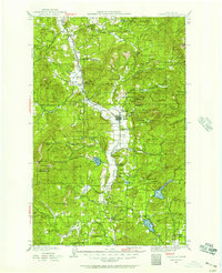
1927 · Chewelah
USGS Topo · 1:125,000
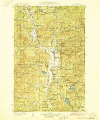
1930 · Chewelah
USGS Topo · 1:125,000
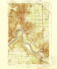
1944 · Clayton
USGS Topo · 1:62,500
1944 · Wellpinit
USGS Topo · 1:62,500
1950 · Clayton
USGS Topo · 1:62,500
1953 · Wellpinit
USGS Topo · 1:62,500
1955 · Spokane
USGS Topo · 1:250,000
1958 · Spokane
USGS Topo · 1:250,000

1958 · Sandpoint
USGS Topo · 1:250,000

1963 · Sandpoint
USGS Topo · 1:250,000