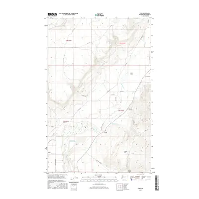
2017 Map of Ford
USGS Topo · Published 2017About this map
Ford serves as a central point in this landscape where the waters of Chamokane Cr and Tshimakain Cr converge. The topography is defined by the broad expanse of Walkers Prairie to the north and the rising elevations of Happy Hill and Bishop Canyon to the south. This 2017 survey details a network of Bureau of Indian Affairs routes, including BIA Hwy 1 and BIA Hwy 5, reflecting the area's ongoing infrastructure within the reservation boundaries. Industrial history is evident at the Dawn Mine Tailings Pond, a significant landmark near the center of the quadrangle. Local genealogy is anchored by the Pleasant View Cem, while numerous seasonal and perennial flows like Moss Cr, Sams Cr, and Rail Cr carve through the terrain, illustrating the complex drainage system of the Stevens County highlands.
Find a feature on this map
43 named features on this map. Tap any name to fly to it.
Don’t see what you’re looking for? This feature index may not catch every label — zoom into the map to look around manually.
Map Details
Editions of this 2017 Ford Map
This is the sole edition of this map. No revisions or reprints were ever made.
Other maps of this area

1927 · Chewelah
USGS Topo · 1:125,000

1930 · Chewelah
USGS Topo · 1:125,000

1944 · Clayton
USGS Topo · 1:62,500

1944 · Wellpinit
USGS Topo · 1:62,500

1950 · Clayton
USGS Topo · 1:62,500

1953 · Wellpinit
USGS Topo · 1:62,500

1955 · Spokane
USGS Topo · 1:250,000

1958 · Spokane
USGS Topo · 1:250,000

1958 · Sandpoint
USGS Topo · 1:250,000

1963 · Sandpoint
USGS Topo · 1:250,000