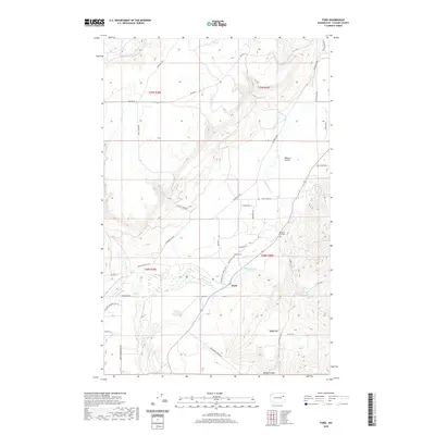
2020 Map of Ford
USGS Topo · Published 2020About this map
Chamokane Cr and Tshimakain Cr converge near the community of Ford, defining a landscape where waterway networks and early road corridors meet in Stevens County. The area is characterized by distinct geographic zones such as Walkers Prairie to the northeast and the elevated terrain of Happy Hill and Bishop Canyon to the south. This mapping reveals a rural infrastructure built around ranching and forestry, marked by family-named routes like Lyons Hill Rd, Moses Creek Rd, and Martha Boardman Rd.
Find a feature on this map
43 named features on this map. Tap any name to fly to it.
Don’t see what you’re looking for? This feature index may not catch every label — zoom into the map to look around manually.
Map Details
Editions of this 2020 Ford Map
This is the sole edition of this map. No revisions or reprints were ever made.
Other maps of this area
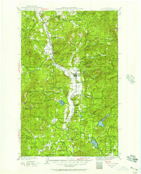
1927 · Chewelah
USGS Topo · 1:125,000
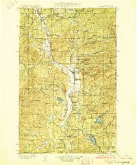
1930 · Chewelah
USGS Topo · 1:125,000
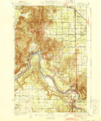
1944 · Clayton
USGS Topo · 1:62,500
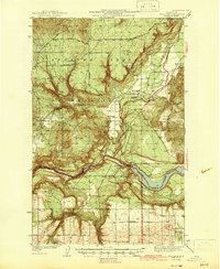
1944 · Wellpinit
USGS Topo · 1:62,500
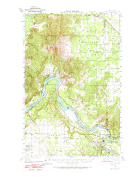
1950 · Clayton
USGS Topo · 1:62,500
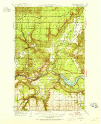
1953 · Wellpinit
USGS Topo · 1:62,500
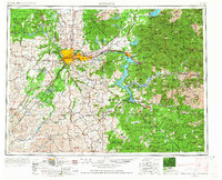
1955 · Spokane
USGS Topo · 1:250,000
1958 · Spokane
USGS Topo · 1:250,000
1958 · Sandpoint
USGS Topo · 1:250,000
1963 · Sandpoint
USGS Topo · 1:250,000