
1966 Map of Forest City
USGS Topo · Published 1968About this map
Industrial textile hubs and agricultural crossroads define this 1960s portrait of Rutherford County. The Second Broad River winds south through a landscape of mill villages and rural communities, connecting Caroleen, Avondale, and Henrietta. The heavy infrastructure of the era is evident in the convergence of the Clinchfield Railroad, Seaboard Coast Line Railroad, and Southern Railway, which served both the manufacturing centers and the local timber and clay industries. Beyond the urban grid of Forest City, the map reveals a deeply rooted rural society marked by family-named landmarks and local institutions. From Sandy Mush to Bostic, the landscape is dotted with country churches like Mt Pisgah Ch and Providence Ch, alongside community landmarks such as the Drive-in Theater and the Community Vocational Sch.
Find a feature on this map
85 named features on this map. Tap any name to fly to it.
Don’t see what you’re looking for? This feature index may not catch every label — zoom into the map to look around manually.
Map Details
Editions of this 1966 Forest City Map
This is the sole edition of this map. No revisions or reprints were ever made.
Other maps of this area

1909 · Gaffney
USGS Topo · 1:62,500

1950 · Shelby
USGS Topo · 1:62,500

1953 · Charlotte
USGS Topo · 1:250,000

1954 · Charlotte
USGS Topo · 1:250,000

1959 · Cowpens
USGS Topo · 1:62,500

1960 · Charlotte
USGS Topo · 1:250,000

1962 · Charlotte
USGS Topo · 1:250,000
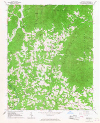
1965 · Sunshine
USGS Topo · 1:24,000
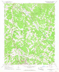
1966 · Rutherfordton North
USGS Topo · 1:24,000
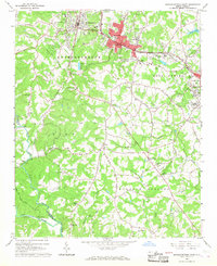
1966 · Rutherfordton South
USGS Topo · 1:24,000