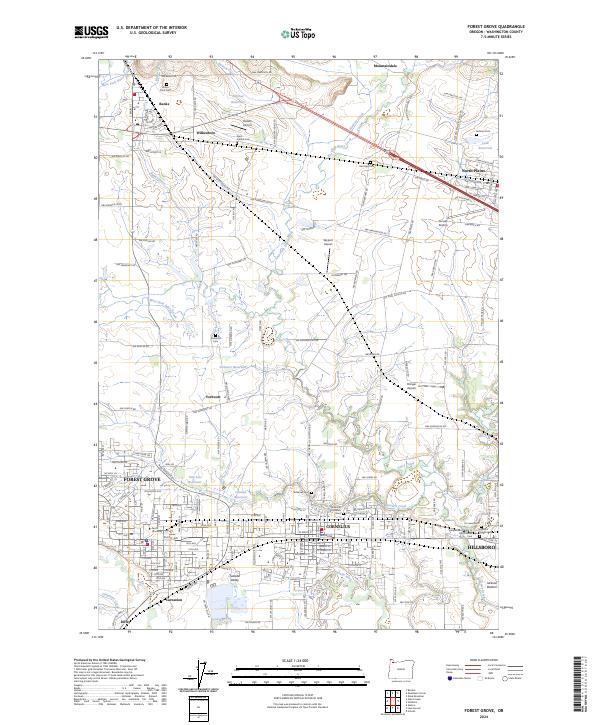
2024 Map of Forest Grove
USGS Topo · Published 2024About this map
Tualatin Valley agriculture and the steady expansion of the Portland periphery are central to this modern look at Washington County. The map details the interconnected relationship between Forest Grove, Cornelius, and Hillsboro, where suburban development meets the sprawling bottomlands of the Tualatin River. The academic campus of Pacific University stands as a historic anchor in Forest Grove, while numerous smaller settlements like Verboort, Wilkesboro, and Banks maintain their distinct rural character to the north.
Find a feature on this map
110 named features on this map. Tap any name to fly to it.
Don’t see what you’re looking for? This feature index may not catch every label — zoom into the map to look around manually.
Map Details
Editions of this 2024 Forest Grove Map
This is the sole edition of this map. No revisions or reprints were ever made.
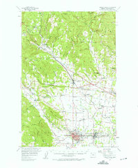
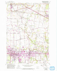
Historical Maps of Verboort Through Time
3 maps found