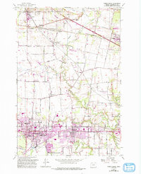
1956 Map of Forest Grove
USGS Topo · Published 1993About this map
The agricultural valleys of Washington County are centered here at the confluence of the Tualatin River and its many tributaries, including Dairy Creek and Council Creek. This landscape is defined by the established communities of Forest Grove and Cornelius, where the presence of the Southern Pacific RR and Oregon Electric RR signals the historical importance of rail transport for the region's timber and farm exports. Smaller Catholic settlements like Verboort and Roy reflect the area’s local history, anchored by institutions such as Visitation Church and St Francis School.
Find a feature on this map
77 named features on this map. Tap any name to fly to it.
Don’t see what you’re looking for? This feature index may not catch every label — zoom into the map to look around manually.
Map Details
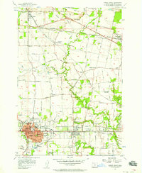
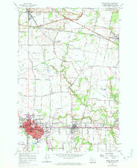
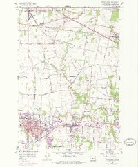
Editions of this 1956 Forest Grove Map
4 editions found
Other maps of this area

1915 · Hillsboro
USGS Topo · 1:62,500

1916 · Tualatin
USGS Topo · 1:62,500

1918 · Hillsboro
USGS Topo · 1:62,500

1939 · Tualatin
USGS Topo · 1:62,500

1940 · Tualatin
USGS Topo · 1:62,500

1940 · Hillsboro
USGS Topo · 1:62,500

1941 · Gales Creek
USGS Topo · 1:62,500

1941 · Yamhill
USGS Topo · 1:62,500

1942 · Yamhill
USGS Topo · 1:62,500

1948 · Vancouver
USGS Topo · 1:250,000