
1918 Map of Hillsboro
USGS Topo · Published 1918About this map
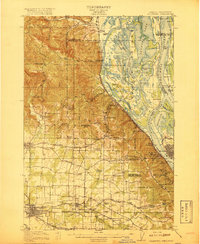
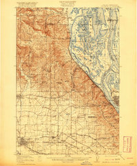
The agricultural plains and river bottoms of the Tualatin and Columbia valleys are captured here during a period of significant rail expansion. Hillsboro serves as a central hub, while the Oregon Electric Railways and Southern Pacific lines weave through the landscape, connecting small farming communities like Orenco and Quatama. To the east, the Willamette River and Columbia River converge near St Johns and Linnton, highlighting the industrial and maritime character of the riverfront with landmarks such as the Post Office Bar and the Gasco plant.
Find a feature on this map
103 named features on this map. Tap any name to fly to it.
Don’t see what you’re looking for? This feature index may not catch every label — zoom into the map to look around manually.
Map Details
Editions of this 1918 Hillsboro Map
4 editions found
Other maps of this area

1897 · Portland
USGS Topo · 1:62,500

1905 · Portland
USGS Topo · 1:62,500

1914 · Oregon City
USGS Topo · 1:62,500

1915 · Hillsboro
USGS Topo · 1:62,500

1916 · Tualatin
USGS Topo · 1:62,500

1922 · St. Helens
USGS Topo · 1:62,500

1939 · Oregon City
USGS Topo · 1:62,500

1939 · Tualatin
USGS Topo · 1:62,500

1940 · Tualatin
USGS Topo · 1:62,500

1940 · Hillsboro
USGS Topo · 1:62,500