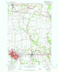
1956 Map of Forest Grove
USGS Topo · Published 1971About this map
Pacific University serves as the cultural anchor of the region, situated within the urban expansion of Forest Grove. This mid-century survey captures the agricultural and educational landscape of Washington County, where the Southern Pacific and Burlington Northern railroads intersect to facilitate the movement of goods from the surrounding fertile plains. The settlement pattern is characterized by numerous small communities and crossroads such as Verboort, Cornelius, and Banks, many of which are centered around parish life and local education, evidenced by features like St Francis Church and the Leisy School (Abandoned).
Find a feature on this map
74 named features on this map. Tap any name to fly to it.
Don’t see what you’re looking for? This feature index may not catch every label — zoom into the map to look around manually.
Map Details
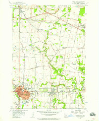
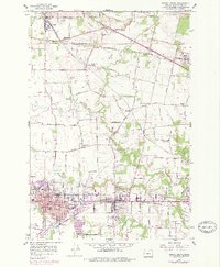
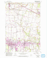
Editions of this 1956 Forest Grove Map
4 editions found
Other maps of this area

1915 · Hillsboro
USGS Topo · 1:62,500

1916 · Tualatin
USGS Topo · 1:62,500

1918 · Hillsboro
USGS Topo · 1:62,500

1939 · Tualatin
USGS Topo · 1:62,500

1940 · Tualatin
USGS Topo · 1:62,500

1940 · Hillsboro
USGS Topo · 1:62,500

1941 · Gales Creek
USGS Topo · 1:62,500

1941 · Yamhill
USGS Topo · 1:62,500

1942 · Yamhill
USGS Topo · 1:62,500

1948 · Vancouver
USGS Topo · 1:250,000