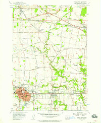
1956 Map of Forest Grove
USGS Topo · Published 1958About this map
Forest Grove and the neighboring city of Cornelius serve as the primary hubs in this mid-century portrait of Washington County's agricultural heartland. The landscape is defined by the winding course of the Tualatin River and its numerous tributaries, including Dairy Creek and Council Creek, which supported the region's early development. The presence of Pacific University at the center of Forest Grove highlights the city's long-standing role as an educational center, while nearby Millpond and the Southern Pacific rail lines underscore the industrial and timber economy of the era.
Find a feature on this map
96 named features on this map. Tap any name to fly to it.
Don’t see what you’re looking for? This feature index may not catch every label — zoom into the map to look around manually.
Map Details
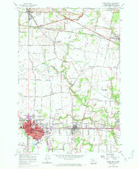
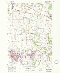
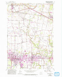
Editions of this 1956 Forest Grove Map
4 editions found
Other maps of this area

1915 · Hillsboro
USGS Topo · 1:62,500

1916 · Tualatin
USGS Topo · 1:62,500

1918 · Hillsboro
USGS Topo · 1:62,500

1939 · Tualatin
USGS Topo · 1:62,500

1940 · Tualatin
USGS Topo · 1:62,500

1940 · Hillsboro
USGS Topo · 1:62,500

1941 · Gales Creek
USGS Topo · 1:62,500

1941 · Yamhill
USGS Topo · 1:62,500

1942 · Yamhill
USGS Topo · 1:62,500

1948 · Vancouver
USGS Topo · 1:250,000