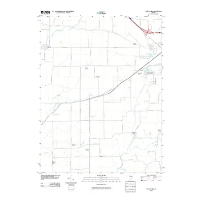
2010 Map of Forest Hill
USGS Topo · Published 2010About this map
Milford and several smaller agricultural hamlets define the landscape of south-central Indiana as documented in this early 21st-century study. The terrain is structured by a grid of county roads that connect historic crossroads like Ewington, Horace, and Harris City. The industrial history of the region is hinted at by the presence of Iron Mine Rd in the southwest near Forest Hill.
Find a feature on this map
57 named features on this map. Tap any name to fly to it.
Don’t see what you’re looking for? This feature index may not catch every label — zoom into the map to look around manually.
Map Details
Editions of this 2010 Forest Hill Map
This is the sole edition of this map. No revisions or reprints were ever made.
Other maps of this area

1942 · Columbus
USGS Topo · 1:125,000

1953 · Cincinnati
USGS Topo · 1:250,000

1956 · Waldron
USGS Topo · 1:24,000

1957 · Cincinnati
USGS Topo · 1:250,000

1958 · Greensburg
USGS Topo · 1:24,000

1958 · Millhousen
USGS Topo · 1:24,000

1958 · Westport
USGS Topo · 1:24,000

1958 · Forest Hill
USGS Topo · 1:24,000

1958 · Hartsville
USGS Topo · 1:24,000

1958 · Grammer
USGS Topo · 1:24,000