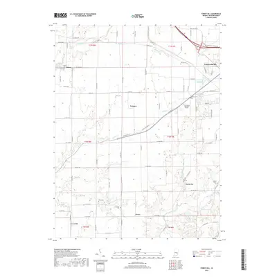
2019 Map of Forest Hill
USGS Topo · Published 2019About this map
Greensburg serves as a regional anchor in this 2019 survey, where modern transportation infrastructure meets a landscape deeply marked by its rural heritage. The expansion of Greensburg is evident near the Greensburg Municipal Airport and along the W Interstate 74 Frontage Rd, providing a clear view of how transit corridors have shaped recent development. This contemporary layout contrasts with the established patterns of smaller outlying settlements like Milford, Harris City, and Forest Hill.
Find a feature on this map
52 named features on this map. Tap any name to fly to it.
Don’t see what you’re looking for? This feature index may not catch every label — zoom into the map to look around manually.
Map Details
Editions of this 2019 Forest Hill Map
This is the sole edition of this map. No revisions or reprints were ever made.
Other maps of this area

1942 · Columbus
USGS Topo · 1:125,000

1953 · Cincinnati
USGS Topo · 1:250,000

1956 · Waldron
USGS Topo · 1:24,000

1957 · Cincinnati
USGS Topo · 1:250,000

1958 · Greensburg
USGS Topo · 1:24,000

1958 · Millhousen
USGS Topo · 1:24,000

1958 · Westport
USGS Topo · 1:24,000

1958 · Forest Hill
USGS Topo · 1:24,000

1958 · Hartsville
USGS Topo · 1:24,000

1958 · Grammer
USGS Topo · 1:24,000