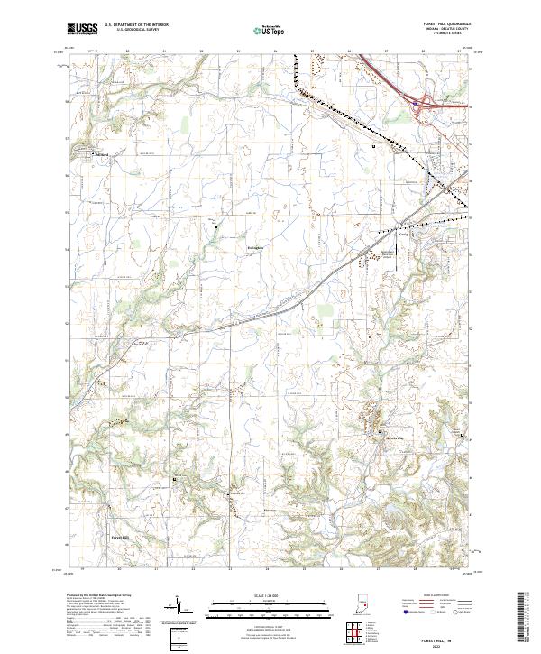
2022 Map of Forest Hill
USGS Topo · Published 2022About this map
Forest Hill and its surrounding rural townships represent a quintessential Indiana agricultural landscape, defined by a network of drainage runs and family-associated landmarks. The map traces the winding paths of Clifty Creek and Sand Creek, which carve through the till plains, while man-made features like the Greensburg Reservoir and Greensburg City Park Lake mark the northern periphery. This modern topographic study preserves the locations of numerous historic burial grounds, including the Mowery Cem, Forsythe Cem, and Patrick Cem, providing essential data for genealogical research in Decatur County.
Find a feature on this map
82 named features on this map. Tap any name to fly to it.
Don’t see what you’re looking for? This feature index may not catch every label — zoom into the map to look around manually.
Map Details
Editions of this 2022 Forest Hill Map
This is the sole edition of this map. No revisions or reprints were ever made.
Other maps of this area

1942 · Columbus
USGS Topo · 1:125,000

1953 · Cincinnati
USGS Topo · 1:250,000

1956 · Waldron
USGS Topo · 1:24,000

1957 · Cincinnati
USGS Topo · 1:250,000

1958 · Greensburg
USGS Topo · 1:24,000

1958 · Millhousen
USGS Topo · 1:24,000

1958 · Westport
USGS Topo · 1:24,000

1958 · Forest Hill
USGS Topo · 1:24,000

1958 · Hartsville
USGS Topo · 1:24,000

1958 · Grammer
USGS Topo · 1:24,000