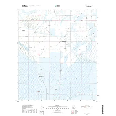
2020 Map of Forked Island
USGS Topo · Published 2020About this map
Forked Island sits at the nexus of an intricate hydrological network in Vermilion Parish, where man-made infrastructure meets the shifting terrain of coastal Louisiana. The landscape is defined by its numerous named islands and points, such as Greens Pine Island, Isle Marrone, and Little Prairie Ridge, which represent slightly elevated ground amidst the surrounding wetlands. The settlement itself is anchored by the Forked Island Bridge and the Immaculate Conception Cem, reflecting a community deeply tied to its geography and French-influenced heritage.
Find a feature on this map
54 named features on this map. Tap any name to fly to it.
Don’t see what you’re looking for? This feature index may not catch every label — zoom into the map to look around manually.
Map Details
Editions of this 2020 Forked Island Map
This is the sole edition of this map. No revisions or reprints were ever made.
Other maps of this area

1932 · Abbeville SW
USGS Topo · 1:31,680

1932 · Abbeville NW
USGS Topo · 1:31,680

1945 · Pecan Island NW
USGS Topo · 1:31,680

1945 · Pecan Island NE
USGS Topo · 1:31,680

1946 · Schooner Bayou SE
USGS Topo · 1:31,680

1946 · Schooner Bayou NE
USGS Topo · 1:31,680

1946 · Redfish Point NW
USGS Topo · 1:31,680

1946 · Schooner Bayou NW
USGS Topo · 1:31,680

1946 · Schooner Bayou SW
USGS Topo · 1:31,680

1951 · Pecan Island
USGS Topo · 1:62,500