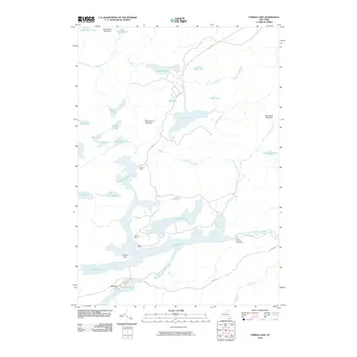
2010 Map of Forked Lake
USGS Topo · Published 2010About this map
Forked Lake and the winding Raquette River anchor this topographic study of Hamilton County, New York, showing a landscape defined by its complex waterway network. The central lake system, including Little Forked Lake, Plumley Pond, and North Bay, provides a natural corridor for recreation and travel. Several established wilderness camps, such as Killoquah Camp, Togus Camp, and Deerland Camp, are clustered along these shores, reflecting the region's long-standing tradition of Adirondack sporting and seasonal residency.
Find a feature on this map
36 named features on this map. Tap any name to fly to it.
Don’t see what you’re looking for? This feature index may not catch every label — zoom into the map to look around manually.
Map Details
Editions of this 2010 Forked Lake Map
This is the sole edition of this map. No revisions or reprints were ever made.
Other maps of this area

1903 · Raquette Lake
USGS Topo · 1:62,500

1903 · Blue Mountain
USGS Topo · 1:62,500

1904 · Long Lake
USGS Topo · 1:62,500

1907 · Tupper Lake
USGS Topo · 1:62,500

1948 · Ogdensburg
USGS Topo · 1:250,000

1950 · Utica
USGS Topo · 1:250,000

1951 · Ogdensburg
USGS Topo · 1:250,000

1953 · Ogdensburg
USGS Topo · 1:250,000

1954 · Tupper Lake
USGS Topo · 1:62,500

1954 · Blue Mountain
USGS Topo · 1:62,500