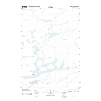
2013 Map of Forked Lake
USGS Topo · Published 2013About this map
Forked Lake and the branching waters of the Raquette River dominate this Adirondack landscape in Hamilton County. The map captures a high concentration of water bodies, from the sprawling Raquette Lake in the southwest to isolated high-elevation waters like Antediluvian Pond and Little High Pond. The presence of several established campsites, including Killoquah Camp, Togus Camp, and Deerland Camp, indicates the area's long-standing role as a recreational destination. Shoreline development is concentrated along access routes such as Raquette Shores Way and near the Woods settlement.
Find a feature on this map
37 named features on this map. Tap any name to fly to it.
Don’t see what you’re looking for? This feature index may not catch every label — zoom into the map to look around manually.
Map Details
Editions of this 2013 Forked Lake Map
This is the sole edition of this map. No revisions or reprints were ever made.
Other maps of this area

1903 · Raquette Lake
USGS Topo · 1:62,500

1903 · Blue Mountain
USGS Topo · 1:62,500

1904 · Long Lake
USGS Topo · 1:62,500

1907 · Tupper Lake
USGS Topo · 1:62,500

1948 · Ogdensburg
USGS Topo · 1:250,000

1950 · Utica
USGS Topo · 1:250,000

1951 · Ogdensburg
USGS Topo · 1:250,000

1953 · Ogdensburg
USGS Topo · 1:250,000

1954 · Tupper Lake
USGS Topo · 1:62,500

1954 · Blue Mountain
USGS Topo · 1:62,500