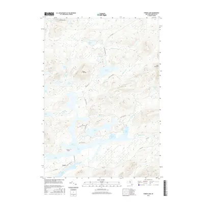
2016 Map of Forked Lake
USGS Topo · Published 2016About this map
Forked Lake and the Raquette River dominate this Adirondack landscape, where water and topography dictate the movement of travelers and residents. The complex shoreline includes Plumley Bay and North Bay, part of a drainage system that includes dozens of smaller bodies of water like Antediluvian Pond and Little Marsh Pond. The terrain is defined by prominent peaks including Moose Pond Mtn and Antediluvian Mtn, which frame the low-lying wetlands and basins.
Find a feature on this map
43 named features on this map. Tap any name to fly to it.
Don’t see what you’re looking for? This feature index may not catch every label — zoom into the map to look around manually.
Map Details
Editions of this 2016 Forked Lake Map
This is the sole edition of this map. No revisions or reprints were ever made.
Other maps of this area

1903 · Raquette Lake
USGS Topo · 1:62,500

1903 · Blue Mountain
USGS Topo · 1:62,500

1904 · Long Lake
USGS Topo · 1:62,500

1907 · Tupper Lake
USGS Topo · 1:62,500

1948 · Ogdensburg
USGS Topo · 1:250,000

1950 · Utica
USGS Topo · 1:250,000

1951 · Ogdensburg
USGS Topo · 1:250,000

1953 · Ogdensburg
USGS Topo · 1:250,000

1954 · Tupper Lake
USGS Topo · 1:62,500

1954 · Blue Mountain
USGS Topo · 1:62,500