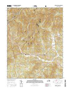
2016 Map of Forks of Buffalo
USGS Topo · Published 2016About this map
George Washington National Forest blankets the northern half of this Amherst County landscape, where the Appalachian National Scenic Trail winds along high ridges like Buck Mtn and Bald Knob. The drainage pattern of the Buffalo River and its numerous tributaries, including the N Fork Buffalo River and S Fork Buffalo River, dictates the placement of rural settlements and winding mountain roads.
Find a feature on this map
93 named features on this map. Tap any name to fly to it.
Don’t see what you’re looking for? This feature index may not catch every label — zoom into the map to look around manually.
Map Details
Editions of this 2016 Forks of Buffalo Map
This is the sole edition of this map. No revisions or reprints were ever made.
Other maps of this area

1894 · Lexington
USGS Topo · 1:125,000

1932 · Lexington
USGS Topo · 1:48,000

1935 · Buena Vista
USGS Topo · 1:48,000

1935 · Amherst
USGS Topo · 1:48,000

1936 · Vesuvius
USGS Topo · 1:48,000

1937 · Lexington
USGS Topo · 1:62,500

1939 · Amherst
USGS Topo · 1:62,500

1939 · Buena Vista
USGS Topo · 1:62,500

1940 · Buena Vista
USGS Topo · 1:62,500

1941 · Vesuvius
USGS Topo · 1:62,500