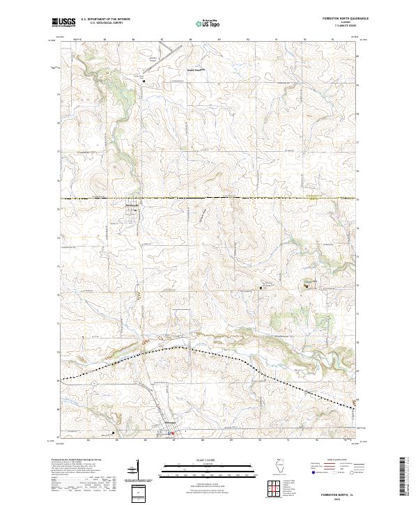
2024 Map of Forreston North
USGS Topo · Published 2024About this map
The Leaf River winds through this agricultural borderland between Stephenson and Ogle counties, defining a landscape of rolling terrain and rural settlements. Centered on the village of Baileyville and the northern edge of Forreston, the area is characterized by family-named landmarks and long-established cemeteries that offer significant value for genealogical research. Prominent features like Cranes Grove Cem, White Oak Cem, and the North Grove Zion Reformed Cem reflect the 19th-century settlement patterns of this farming region. The terrain is punctuated by Hardpan Ridge and the distinctive Coffman Bluff overlooking Coffman Lake, illustrating how the local topography influenced early road placement and property boundaries. On the northern edge, Albertus Airport sits near South Freeport, marking the modern expansion of transportation near the historic Silver Creek drainage.
Find a feature on this map
55 named features on this map. Tap any name to fly to it.
Don’t see what you’re looking for? This feature index may not catch every label — zoom into the map to look around manually.
Map Details
Editions of this 2024 Forreston North Map
This is the sole edition of this map. No revisions or reprints were ever made.
Historical Maps of Forreston Township Through Time
12 maps found
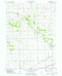
1975 Chana
Ogle County, IL
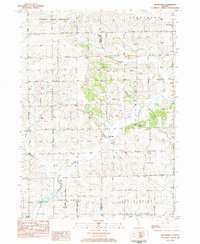
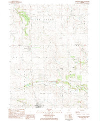
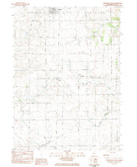
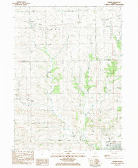
1983 Brookville
Ogle County, IL
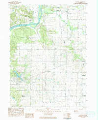
1983 Daysville
Ogle County, IL
1983 Forreston North
Ogle County, IL
1983 Forreston South
Ogle County, IL
1983 Seward
Ogle County, IL
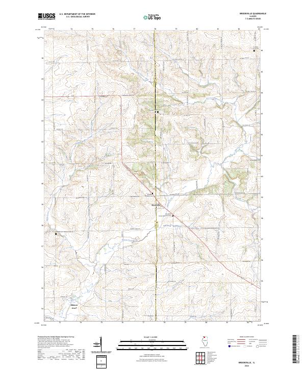
2024 Brookville
Ogle County, IL
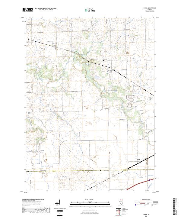
2024 Chana
Ogle County, IL
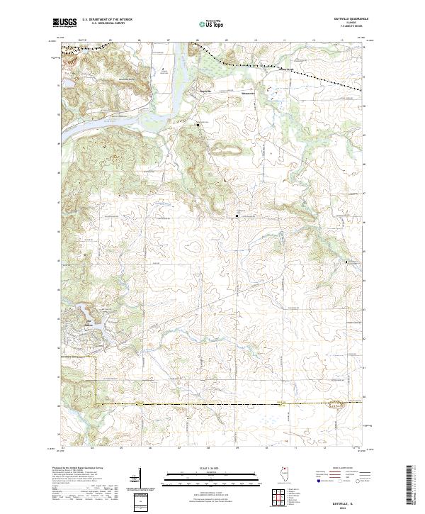
2024 Daysville
Ogle County, IL
2024 Forreston North
Ogle County, IL
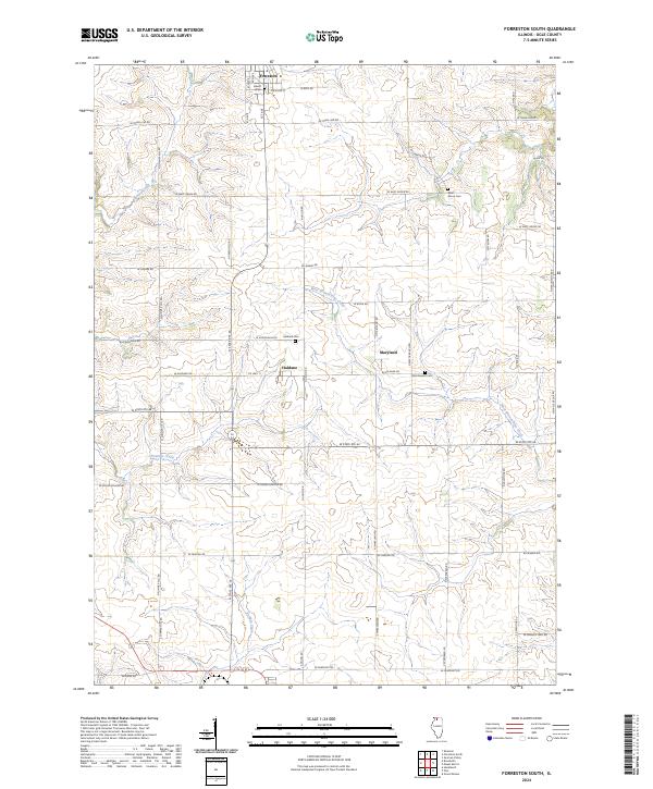
2024 Forreston South
Ogle County, IL
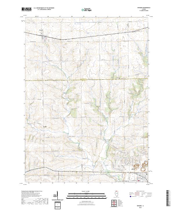
2024 Seward
Ogle County, IL
Featured Locations
- Forreston Township, IL
- Maryland Township, IL
- South Freeport, IL
- Baileyville, Forreston Township
- Forreston, Forreston Township