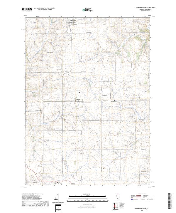
2024 Map of Forreston South
USGS Topo · Published 2024About this map
Forreston sits at the northern edge of this agricultural landscape in Ogle County, where a grid of rural roads connects the small settlements of Haldane and Maryland. The terrain is defined by the winding paths of Elkhorn Creek and the West Branch Pine Creek, which cut through the rolling farmland. Local history is anchored by several burial grounds, including the Haldane Cem and West Grove Cem, providing valuable points of reference for genealogists studying the families of these townships. This survey highlights the enduring rural structure of the region, where routes like W State Rte 64 and N State Rte 26 follow long-established paths through the Illinois prairie. The distribution of small stream systems like Fivemile Creek and Buffalo Creek illustrates the natural drainage patterns that have shaped the development of these farmsteads and communities for generations.
Find a feature on this map
43 named features on this map. Tap any name to fly to it.
Don’t see what you’re looking for? This feature index may not catch every label — zoom into the map to look around manually.
Map Details
Editions of this 2024 Forreston South Map
This is the sole edition of this map. No revisions or reprints were ever made.
Other maps of this area

1918 · Dixon
USGS Topo · 1:62,500

1922 · Oregon
USGS Topo · 1:62,500

1924 · Oregon
USGS Topo · 1:62,500

1930 · Woodsung
USGS Topo · 1:48,000

1942 · Forreston
USGS Topo · 1:62,500

1945 · Forreston
USGS Topo · 1:62,500

1946 · Sterling
USGS Topo · 1:62,500

1948 · Sterling
USGS Topo · 1:62,500

1950 · Dixon
USGS Topo · 1:62,500

1954 · Rockford
USGS Topo · 1:250,000