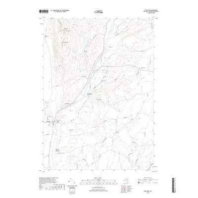
2019 Map of Fort Ann
USGS Topo · Published 2019About this map
Fort Ann sits at a critical junction of waterway and valley, where the winding path of Halfway Creek and the lowlands of Cedar Swamp meet the rising elevations of The Pinnacle and Orebed Hill. This modern survey reveals a landscape deeply connected to its geological past, with industrial roots hinted at by names like Orebed Hill and the numerous quarries scattered near S Quarry Ln. The map documents a corridor defined by the movement of people and resources, featuring major crossings like the Deweys Bridge Road Bridge and Baldwin Corners Road Bridge. Genealogists will find significant value in the preservation of several local burial grounds, including the Welch Hollow Cem, Baker Cem, and Comstock Cem, which remain as fixed points amidst the evolving rural infrastructure of Washington County.
Find a feature on this map
64 named features on this map. Tap any name to fly to it.
Don’t see what you’re looking for? This feature index may not catch every label — zoom into the map to look around manually.
Map Details
Editions of this 2019 Fort Ann Map
This is the sole edition of this map. No revisions or reprints were ever made.
Other maps of this area

1893 · Fort Ann
USGS Topo · 1:62,500

1893 · Whitehall
USGS Topo · 1:62,500

1895 · Whitehall
USGS Topo · 1:62,500

1895 · Fort Ann
USGS Topo · 1:62,500

1895 · Glens Falls
USGS Topo · 1:62,500

1897 · Bolton
USGS Topo · 1:62,500

1897 · Glens Falls
USGS Topo · 1:62,500

1898 · Whitehall
USGS Topo · 1:62,500

1898 · Fort Ann
USGS Topo · 1:62,500

1900 · Bolton
USGS Topo · 1:62,500