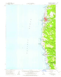
1960 Map of Fort Bragg
USGS Topo · Published 1963About this map
The timber and maritime heritage of the Mendocino coast is preserved here in the early 1960s, a period when the California Western railroad still connected the coast to the interior. The primary settlement of Fort Bragg is shown with its detailed street grid and the Fort Bragg Landing at Soldier Point, while to the south, the community of Mendocino overlooks Mendocino Bay. This survey captures the region's transition into a recreational hub, as shown by the establishment of MacKerricher State Park and Van Damme Beach State Park.
Find a feature on this map
67 named features on this map. Tap any name to fly to it.
Don’t see what you’re looking for? This feature index may not catch every label — zoom into the map to look around manually.
Map Details
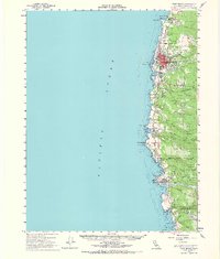
Editions of this 1960 Fort Bragg Map
2 editions found
Other maps of this area

1920 · Glenblair
USGS Topo · 1:62,500

1920 · Fort Bragg
USGS Topo · 1:62,500

1921 · Westport
USGS Topo · 1:62,500

1921 · Branscomb
USGS Topo · 1:62,500

1943 · Glenblair
USGS Topo · 1:62,500

1943 · Fort Bragg
USGS Topo · 1:62,500

1943 · Albion
USGS Topo · 1:62,500

1943 · Navarro
USGS Topo · 1:62,500

1944 · Saddle Point
USGS Topo · 1:62,500

1950 · Cape Vizcaino
USGS Topo · 1:62,500