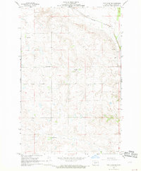
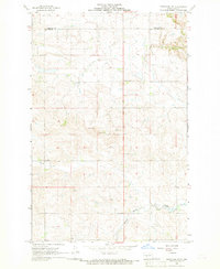
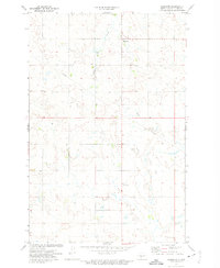
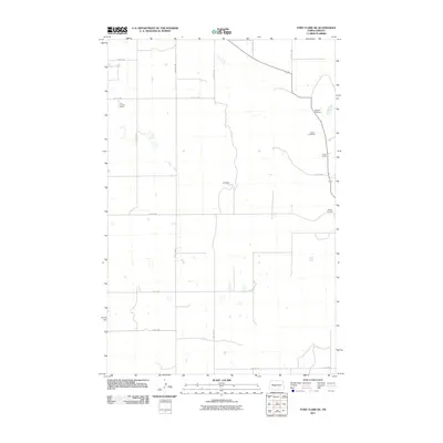
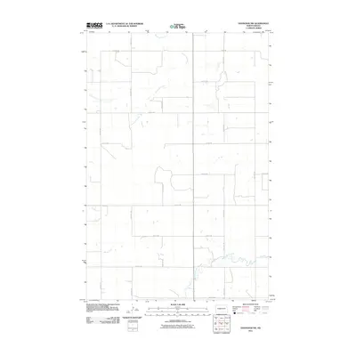
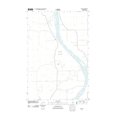
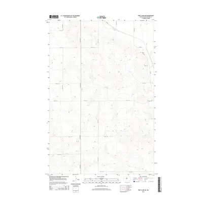
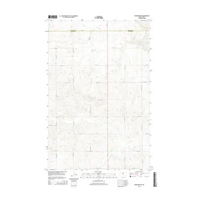
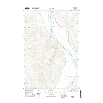
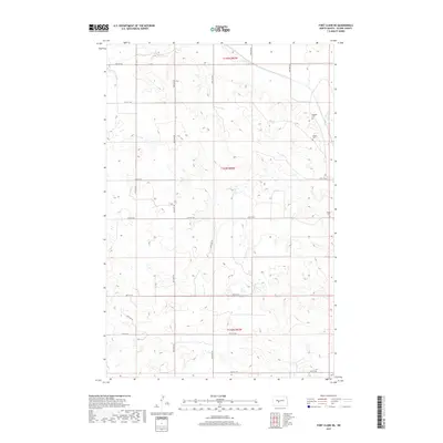
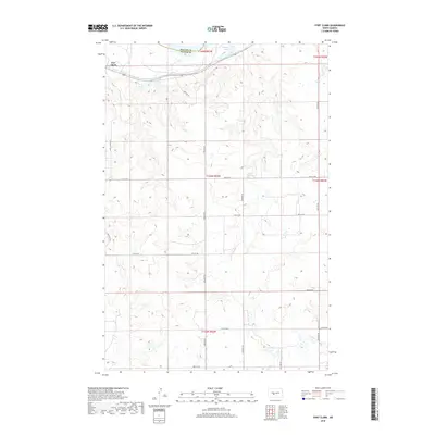
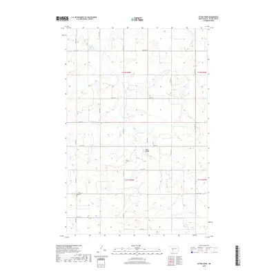
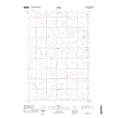
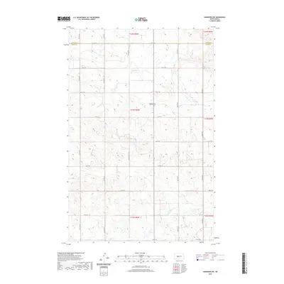
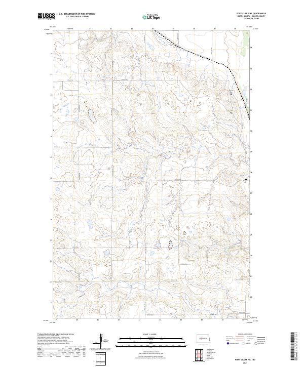
1968 Map of Fort Clark NE
USGS Topo · Published 1969About this map
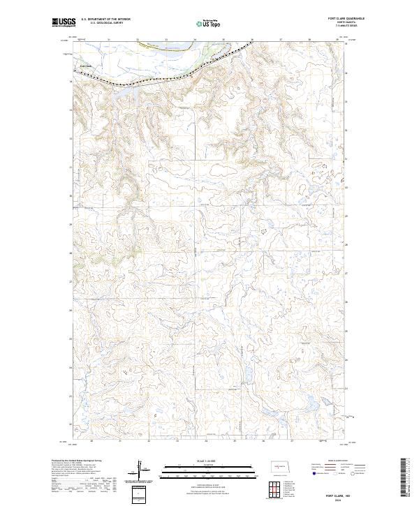
Sanger Cem and several smaller family burial grounds anchor this landscape in Oliver County, reflecting the deep-rooted ranching and farming history of the late 1960s. The northern portion of the quadrangle is defined by the Northern Pacific railroad line, which served as the primary transportation artery for this remote plains region. Settlement patterns appear sparse, centered around established homesteads such as the Van Oosting Ranch, Cross Ranch, and the Ok Ranch. Local education was still decentralized at the time of this survey, evidenced by the presence of Marysville Sch No 2 and Manley Sch No 3. These small schoolhouses and local Gravel Pits suggest a community built on self-sufficiency and local resource extraction, typical of the rural North Dakota prairie during this era of agricultural transition.
Find a feature on this map
16 named features on this map. Tap any name to fly to it.
Don’t see what you’re looking for? This feature index may not catch every label — zoom into the map to look around manually.
Map Details
Editions of this 1968 Fort Clark NE Map
This is the sole edition of this map. No revisions or reprints were ever made.
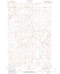
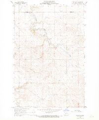
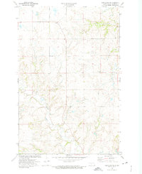
Historical Maps of Oliver County Through Time
72 maps found
1966 Price
Oliver County, ND
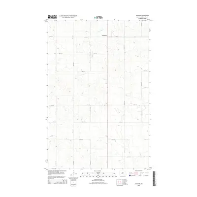
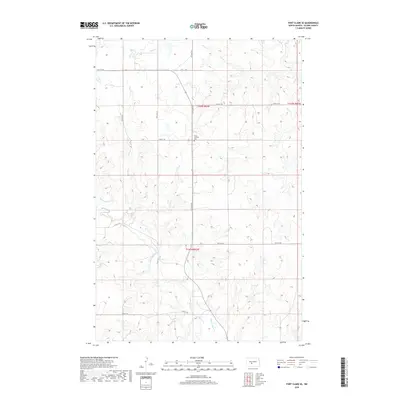
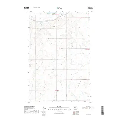
1968 Fort Clark NE
Oliver County, ND
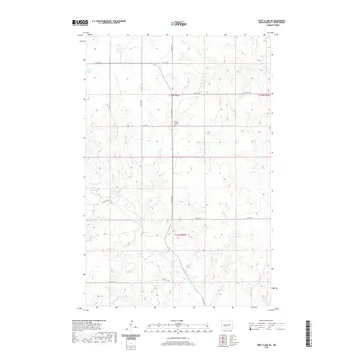
1968 Fort Clark
Oliver County, ND
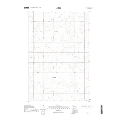
1968 Hannover NE
Oliver County, ND
1968 Hannover NW
Oliver County, ND
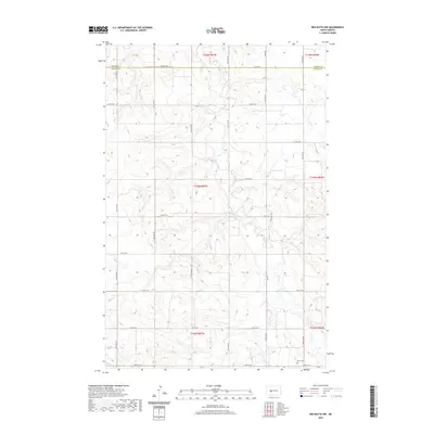
1968 Red Butte NW
Oliver County, ND
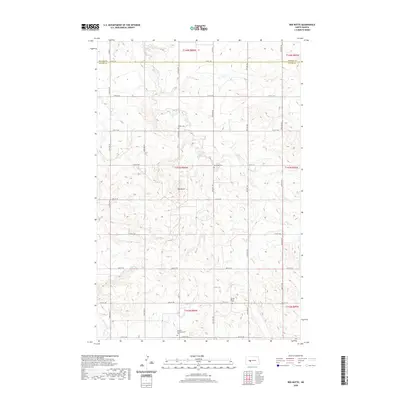
1968 Red Butte
Oliver County, ND
1972 Fort Clark SE
Oliver County, ND
1972 Hannover
Oliver County, ND
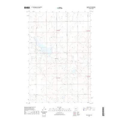
1972 Nelson Lake
Oliver County, ND
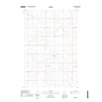
1972 Otter Creek
Oliver County, ND
1972 Red Butte SW
Oliver County, ND
2011 Fort Clark NE
Oliver County, ND
2011 Fort Clark
Oliver County, ND
2011 Fort Clark SE
Oliver County, ND
2011 Hannover NE
Oliver County, ND
2011 Hannover NW
Oliver County, ND
2011 Hannover
Oliver County, ND
2011 Nelson Lake
Oliver County, ND
2011 Otter Creek
Oliver County, ND
2011 Price
Oliver County, ND
2011 Red Butte NW
Oliver County, ND
2011 Red Butte
Oliver County, ND
2011 Red Butte SW
Oliver County, ND
2014 Fort Clark NE
Oliver County, ND
2014 Fort Clark
Oliver County, ND
2014 Fort Clark SE
Oliver County, ND
2014 Hannover NE
Oliver County, ND
2014 Hannover NW
Oliver County, ND
2014 Hannover
Oliver County, ND
2014 Nelson Lake
Oliver County, ND
2014 Otter Creek
Oliver County, ND
2014 Price
Oliver County, ND
2014 Red Butte NW
Oliver County, ND
2014 Red Butte
Oliver County, ND
2014 Red Butte SW
Oliver County, ND
2017 Fort Clark NE
Oliver County, ND
2017 Hannover
Oliver County, ND
2017 Nelson Lake
Oliver County, ND
2017 Red Butte SW
Oliver County, ND
2018 Fort Clark
Oliver County, ND
2018 Fort Clark SE
Oliver County, ND
2018 Hannover NE
Oliver County, ND
2018 Hannover NW
Oliver County, ND
2018 Otter Creek
Oliver County, ND
2018 Price
Oliver County, ND
2018 Red Butte NW
Oliver County, ND
2018 Red Butte
Oliver County, ND
2020 Fort Clark NE
Oliver County, ND
2020 Fort Clark
Oliver County, ND
2020 Fort Clark SE
Oliver County, ND
2020 Hannover NE
Oliver County, ND
2020 Hannover NW
Oliver County, ND
2020 Hannover
Oliver County, ND
2020 Nelson Lake
Oliver County, ND
2020 Otter Creek
Oliver County, ND

2020 Price
Oliver County, ND
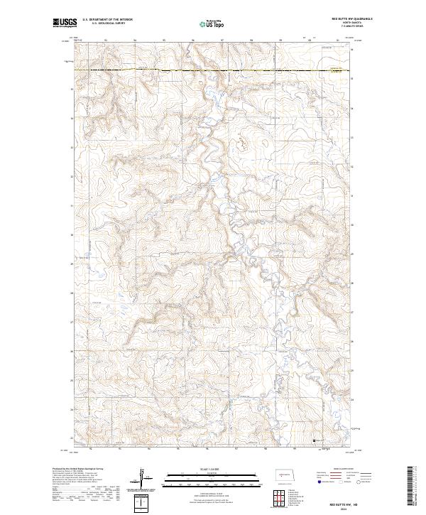
2020 Red Butte NW
Oliver County, ND
2020 Red Butte
Oliver County, ND
2020 Red Butte SW
Oliver County, ND
2024 Fort Clark NE
Oliver County, ND
2024 Fort Clark
Oliver County, ND
2024 Fort Clark SE
Oliver County, ND
2024 Hannover NE
Oliver County, ND
2024 Hannover NW
Oliver County, ND
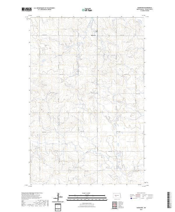
2024 Hannover
Oliver County, ND
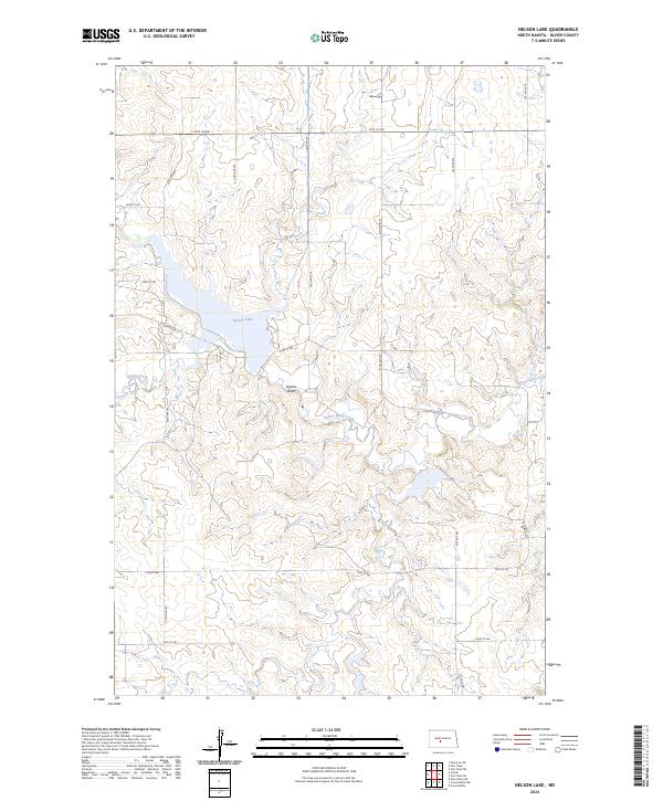
2024 Nelson Lake
Oliver County, ND
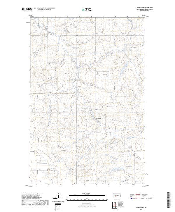
2024 Otter Creek
Oliver County, ND
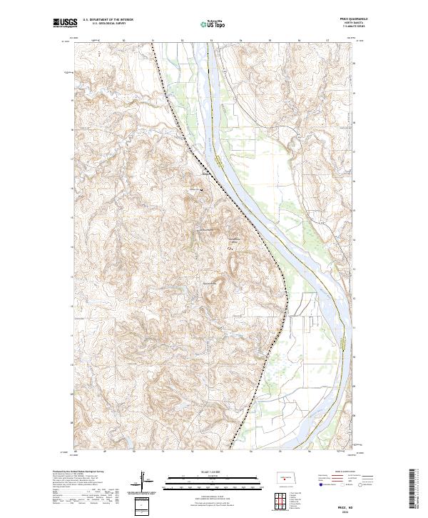
2024 Price
Oliver County, ND
2024 Red Butte NW
Oliver County, ND
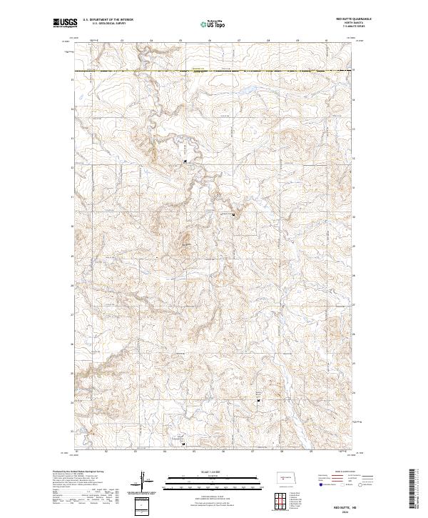
2024 Red Butte
Oliver County, ND
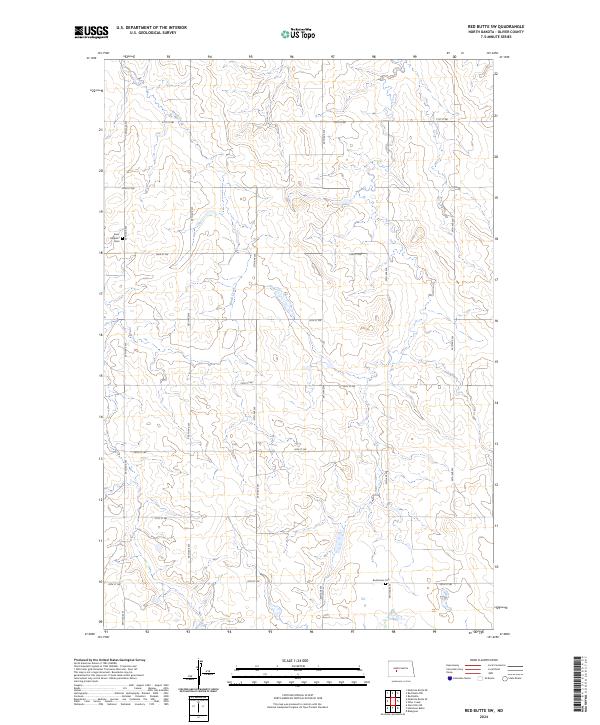
2024 Red Butte SW
Oliver County, ND