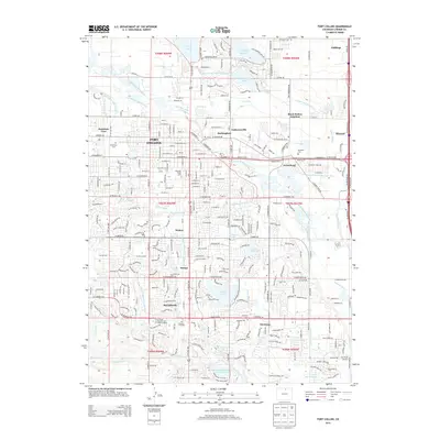
2013 Map of Fort Collins
USGS Topo · Published 2013About this map
The Cache la Poudre River winds through this 2013 landscape, defining the character of Fort Collins and its surrounding agricultural and industrial districts. The map documents the extensive irrigation infrastructure that supports this region, including the Larimer and Weld Canal, Flat Collins Irrigation Ditch, and Boxelder Ditch. These waterways weave between established settlements like Buckingham, Andersonville, and Harmony, showing the transition from the historic city core to more industrial and educational hubs.
Find a feature on this map
189 named features on this map. Tap any name to fly to it.
Don’t see what you’re looking for? This feature index may not catch every label — zoom into the map to look around manually.
Map Details
Editions of this 2013 Fort Collins Map
This is the sole edition of this map. No revisions or reprints were ever made.
Other maps of this area

1902 · Greeley
USGS Topo · 1:125,000

1906 · Loveland
USGS Topo · 1:62,500

1906 · Fort Collins
USGS Topo · 1:62,500

1907 · Livermore
USGS Topo · 1:125,000

1908 · Loveland
USGS Topo · 1:62,500

1908 · Fort Collins
USGS Topo · 1:62,500

1908 · Eaton
USGS Topo · 1:125,000

1909 · Livermore
USGS Topo · 1:125,000

1910 · Eaton
USGS Topo · 1:125,000

1950 · Windsor
USGS Topo · 1:24,000