
1950 Map of Windsor
USGS Topo · Published 1950About this map
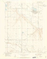
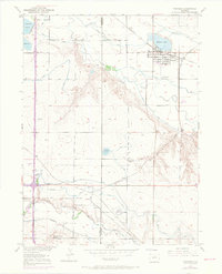
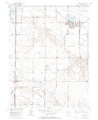
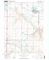
The Cache la Poudre River and Big Thompson River valleys define this landscape at mid-century, where a complex network of ditches and reservoirs supports the agricultural development of the Colorado plains. The town of Windsor is the primary hub, situated near Windsor Lake and served by the Chicago Burlington and Quincy railroad. Smaller rail-aligned points like Avery, Kelim, and Officer reflect the area's rural economy, while the Larimer Co Weld Co boundary bisects the western half of the map.
Find a feature on this map
22 named features on this map. Tap any name to fly to it.
Don’t see what you’re looking for? This feature index may not catch every label — zoom into the map to look around manually.
Map Details
Editions of this 1950 Windsor Map
8 editions found
Other maps of this area

1902 · Greeley
USGS Topo · 1:125,000

1906 · Loveland
USGS Topo · 1:62,500

1906 · Fort Collins
USGS Topo · 1:62,500

1907 · Livermore
USGS Topo · 1:125,000

1908 · Loveland
USGS Topo · 1:62,500

1908 · Fort Collins
USGS Topo · 1:62,500

1908 · Eaton
USGS Topo · 1:125,000

1909 · Livermore
USGS Topo · 1:125,000

1910 · Eaton
USGS Topo · 1:125,000

1950 · Johnstown
USGS Topo · 1:24,000