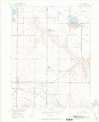
1950 Map of Windsor
USGS Topo · Published 1969About this map
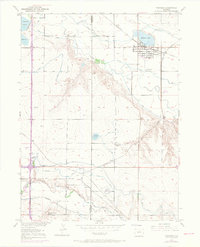
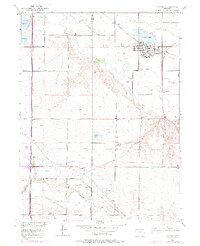
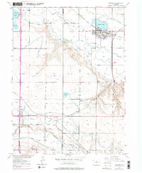
The Cache La Poudre River and the Big Thompson River converge in this agricultural landscape on the border of Larimer and Weld Counties. In 1950, the town of Windsor serves as the primary hub, surrounded by a complex network of irrigation ditches and reservoirs including Windsor Lake and Oklahoma Reservoir. The map illustrates a region defined by sugar beet cultivation and intensive farming, supported by several competing rail lines like the Great Western, Union Pacific, and the Chicago Burlington and Quincy. Local educational life is anchored by small rural campuses such as Oklahoma School and Jeffers Sch, while smaller rail sidings and settlements like Kelim, Avery, and Officer mark the transit points for the valley's produce.
Find a feature on this map
24 named features on this map. Tap any name to fly to it.
Don’t see what you’re looking for? This feature index may not catch every label — zoom into the map to look around manually.
Map Details
Editions of this 1950 Windsor Map
8 editions found
Other maps of this area

1902 · Greeley
USGS Topo · 1:125,000

1906 · Loveland
USGS Topo · 1:62,500

1906 · Fort Collins
USGS Topo · 1:62,500

1907 · Livermore
USGS Topo · 1:125,000

1908 · Loveland
USGS Topo · 1:62,500

1908 · Fort Collins
USGS Topo · 1:62,500

1908 · Eaton
USGS Topo · 1:125,000

1909 · Livermore
USGS Topo · 1:125,000

1910 · Eaton
USGS Topo · 1:125,000

1950 · Windsor
USGS Topo · 1:24,000