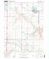
1950 Map of Windsor
USGS Topo · Published 1975About this map
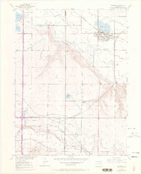
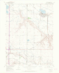
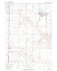
The Cache la Poudre River and Big Thompson River valleys define this agricultural and rail corridor, captured during a period of significant post-war irrigation and transit development. The town of Windsor serves as a central hub, anchored by Windsor Lake and flanked by industrial features like the Sewage Disposal Plant. The landscape is etched with an extensive network of irrigation infrastructure, including the Greeley Canal No 2, Whitney Ditch, and Hillsboro Ditch, reflecting the intensive water management required for the region's farms.
Find a feature on this map
28 named features on this map. Tap any name to fly to it.
Don’t see what you’re looking for? This feature index may not catch every label — zoom into the map to look around manually.
Map Details
Editions of this 1950 Windsor Map
8 editions found
Other maps of this area

1902 · Greeley
USGS Topo · 1:125,000

1906 · Loveland
USGS Topo · 1:62,500

1906 · Fort Collins
USGS Topo · 1:62,500

1907 · Livermore
USGS Topo · 1:125,000

1908 · Loveland
USGS Topo · 1:62,500

1908 · Fort Collins
USGS Topo · 1:62,500

1908 · Eaton
USGS Topo · 1:125,000

1909 · Livermore
USGS Topo · 1:125,000

1910 · Eaton
USGS Topo · 1:125,000

1950 · Windsor
USGS Topo · 1:24,000