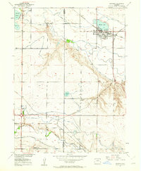
1950 Map of Windsor
USGS Topo · Published 1962About this map
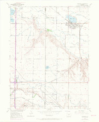
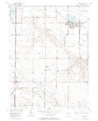
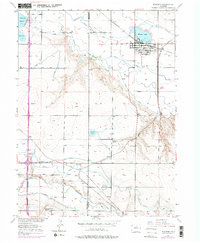
The Cache la Poudre River valley serves as the central artery for this mid-century landscape, where the town of Windsor is anchored by the Windsor Lake reservoir. The area is defined by an intricate network of irrigation engineering, including the Greeley No 2 Canal and Whitney Ditch, which converted the plains into productive agricultural land. These water systems are interwoven with the operations of the Great Western and Union Pacific railroads, reflecting a period when sugar beet farming and local industry drove the regional economy.
Find a feature on this map
31 named features on this map. Tap any name to fly to it.
Don’t see what you’re looking for? This feature index may not catch every label — zoom into the map to look around manually.
Map Details
Editions of this 1950 Windsor Map
8 editions found
Other maps of this area

1902 · Greeley
USGS Topo · 1:125,000

1906 · Loveland
USGS Topo · 1:62,500

1906 · Fort Collins
USGS Topo · 1:62,500

1907 · Livermore
USGS Topo · 1:125,000

1908 · Loveland
USGS Topo · 1:62,500

1908 · Fort Collins
USGS Topo · 1:62,500

1908 · Eaton
USGS Topo · 1:125,000

1909 · Livermore
USGS Topo · 1:125,000

1910 · Eaton
USGS Topo · 1:125,000

1950 · Windsor
USGS Topo · 1:24,000