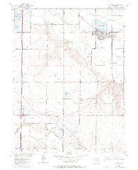
1950 Map of Windsor
USGS Topo · Published 1975About this map
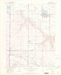
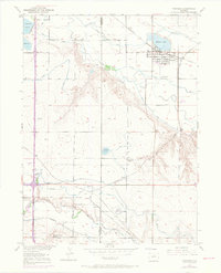
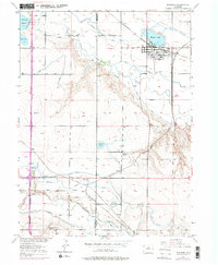
Agricultural development and complex water management define this landscape at the intersection of Larimer and Weld counties. The town of Windsor serves as a hub, situated near the shores of Windsor Lake and the Cache La Poudre River. The map reveals a dense network of irrigation infrastructure essential to the region's farming economy, including the Greeley No 2 Canal, Whitney Ditch, and Eaton Ditch. These waterways support numerous reservoirs like the Oklahoma Reservoir and Koenig Reservoir.
Find a feature on this map
31 named features on this map. Tap any name to fly to it.
Don’t see what you’re looking for? This feature index may not catch every label — zoom into the map to look around manually.
Map Details
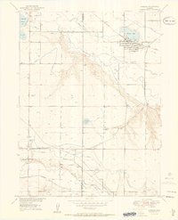
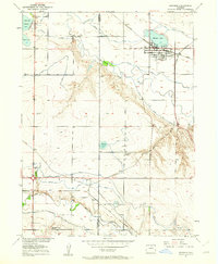
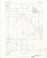
Editions of this 1950 Windsor Map
8 editions found
Other maps of this area

1902 · Greeley
USGS Topo · 1:125,000

1906 · Loveland
USGS Topo · 1:62,500

1906 · Fort Collins
USGS Topo · 1:62,500

1907 · Livermore
USGS Topo · 1:125,000

1908 · Loveland
USGS Topo · 1:62,500

1908 · Fort Collins
USGS Topo · 1:62,500

1908 · Eaton
USGS Topo · 1:125,000

1909 · Livermore
USGS Topo · 1:125,000

1910 · Eaton
USGS Topo · 1:125,000

1950 · Windsor
USGS Topo · 1:24,000