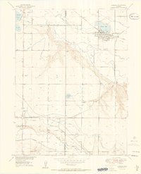
1950 Map of Windsor
USGS Topo · Published 1950About this map
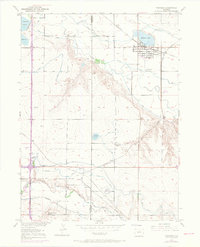
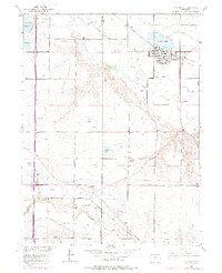
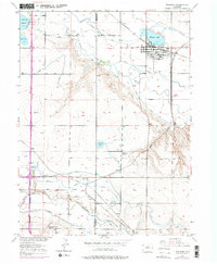
Windsor serves as the central hub of this agricultural landscape at the midpoint of the century, where the Cache La Poudre River and Big Thompson River dictate the development of an intricate irrigation network. The map reveals the critical importance of water rights in this region, documented through numerous engineered waterways such as the Greeley No 2 Canal, Farmers Ditch, and Whitney Ditch. These systems support a scattering of small settlements and transit points like Kelim, Avery, and Officer.
Find a feature on this map
35 named features on this map. Tap any name to fly to it.
Don’t see what you’re looking for? This feature index may not catch every label — zoom into the map to look around manually.
Map Details
Editions of this 1950 Windsor Map
8 editions found
Other maps of this area

1902 · Greeley
USGS Topo · 1:125,000

1906 · Loveland
USGS Topo · 1:62,500

1906 · Fort Collins
USGS Topo · 1:62,500

1907 · Livermore
USGS Topo · 1:125,000

1908 · Loveland
USGS Topo · 1:62,500

1908 · Fort Collins
USGS Topo · 1:62,500

1908 · Eaton
USGS Topo · 1:125,000

1909 · Livermore
USGS Topo · 1:125,000

1910 · Eaton
USGS Topo · 1:125,000

1950 · Windsor
USGS Topo · 1:24,000