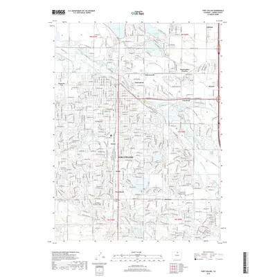
2019 Map of Fort Collins
USGS Topo · Published 2019About this map
Fort Collins is defined by an intricate network of irrigation ditches and canals that have historically supported this Larimer County landscape, including the Lake Canal, Larimer and Weld Canal, and the Josh Ames Ditch. The 2019 landscape shows the urban center at Colorado State University and the Larimer County Justice Center surrounded by several historically distinct areas such as Buckingham and Andersonville.
Find a feature on this map
59 named features on this map. Tap any name to fly to it.
Don’t see what you’re looking for? This feature index may not catch every label — zoom into the map to look around manually.
Map Details
Editions of this 2019 Fort Collins Map
This is the sole edition of this map. No revisions or reprints were ever made.
Other maps of this area

1902 · Greeley
USGS Topo · 1:125,000

1906 · Loveland
USGS Topo · 1:62,500

1906 · Fort Collins
USGS Topo · 1:62,500

1907 · Livermore
USGS Topo · 1:125,000

1908 · Loveland
USGS Topo · 1:62,500

1908 · Fort Collins
USGS Topo · 1:62,500

1908 · Eaton
USGS Topo · 1:125,000

1909 · Livermore
USGS Topo · 1:125,000

1910 · Eaton
USGS Topo · 1:125,000

1950 · Windsor
USGS Topo · 1:24,000